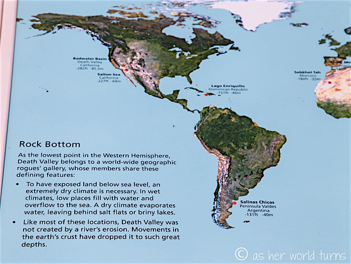
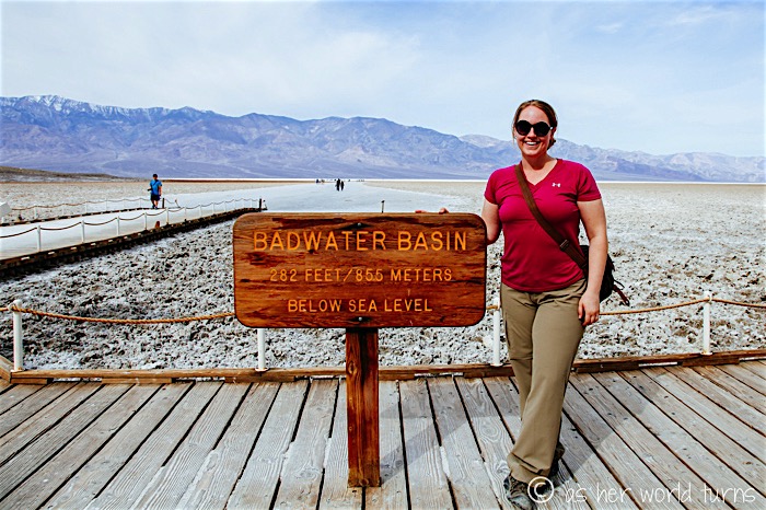
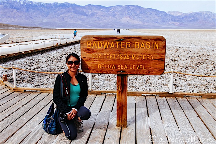
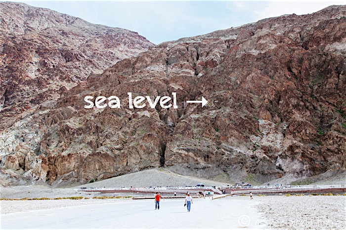
Badwater Basin is the most visited spot in Death Valley, and with good reason — at 282 feet below sea level, it’s the lowest point in all of North America.
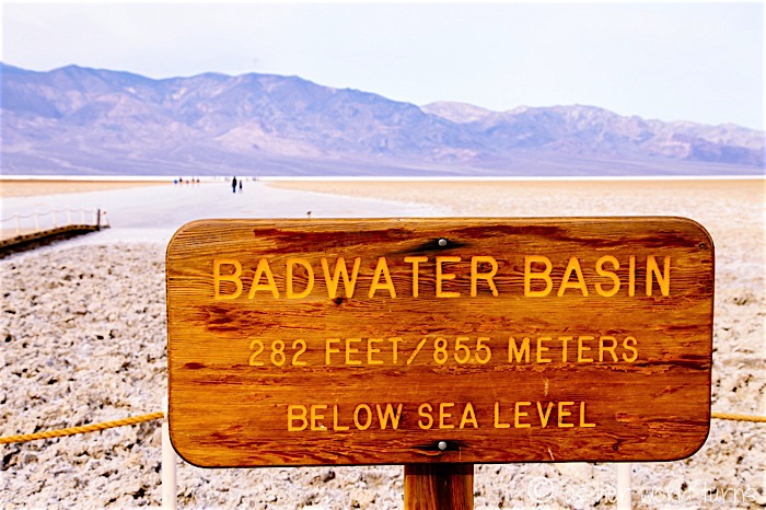
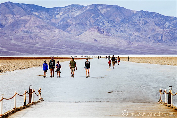
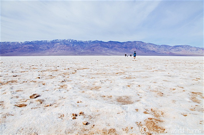
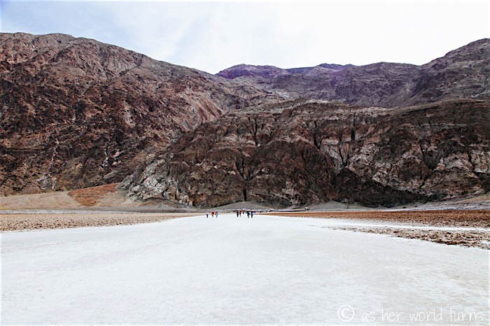
What’s visually fascinating about this area is that it’s covered in bright white salt. But because there are snowy mountains in the distance, it looks more like a sheet of ice, even though that couldn’t be further from the case — temperatures here regularly top 100 degrees Fahrenheit in the winter months. The whole thing is like an optical illusion or a mirage.
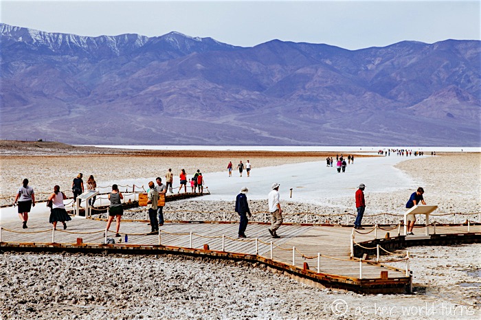
It just so happens that the highest point in the continuous United States is Mt. Whitney (14,505 feet above sea level), which is located merely 85 miles away from Badwater Basin. How fascinating that these two extreme elevations within the States are in such close proximity.
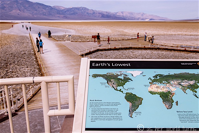
Perhaps you’re wondering how the lowest point of North America compares to other low-elevation spots? Well Death Valley has nothing on the Dead Sea, which plunges to a depth of 1,360 feet below sea level, making it the lowest spot on earth. The next deepest spot is around 500 feet below sea level so the Dead Sea has this competition won by a mile (literally, almost exactly a mile).
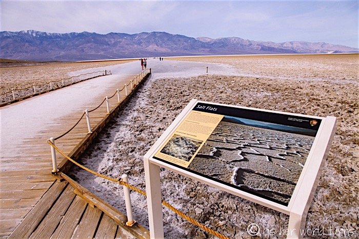
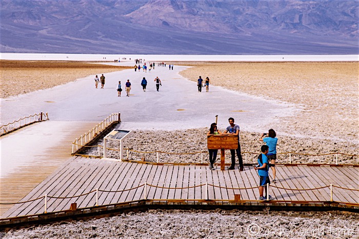
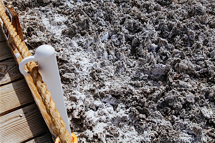
While the salt flats ahead have been stomped smooth by footsteps, the protected salt to the side of the boardwalk has peaks and valleys.
There’s a sign on the nearby cliffs to indicate where sea level is relative to Badwater Basin:
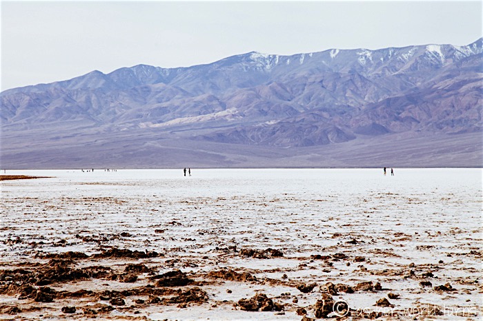
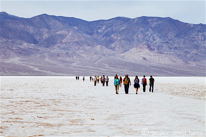
Jenny lies down to make ‘salt angels.’ If you didn’t know the truth, wouldn’t you think this was all snow?
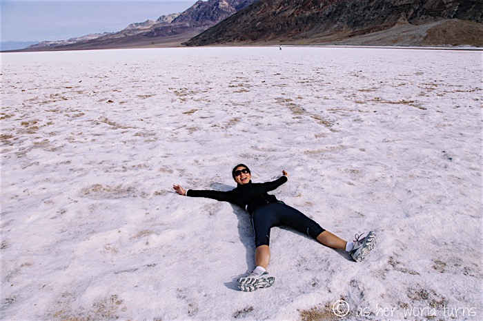
An action shot:
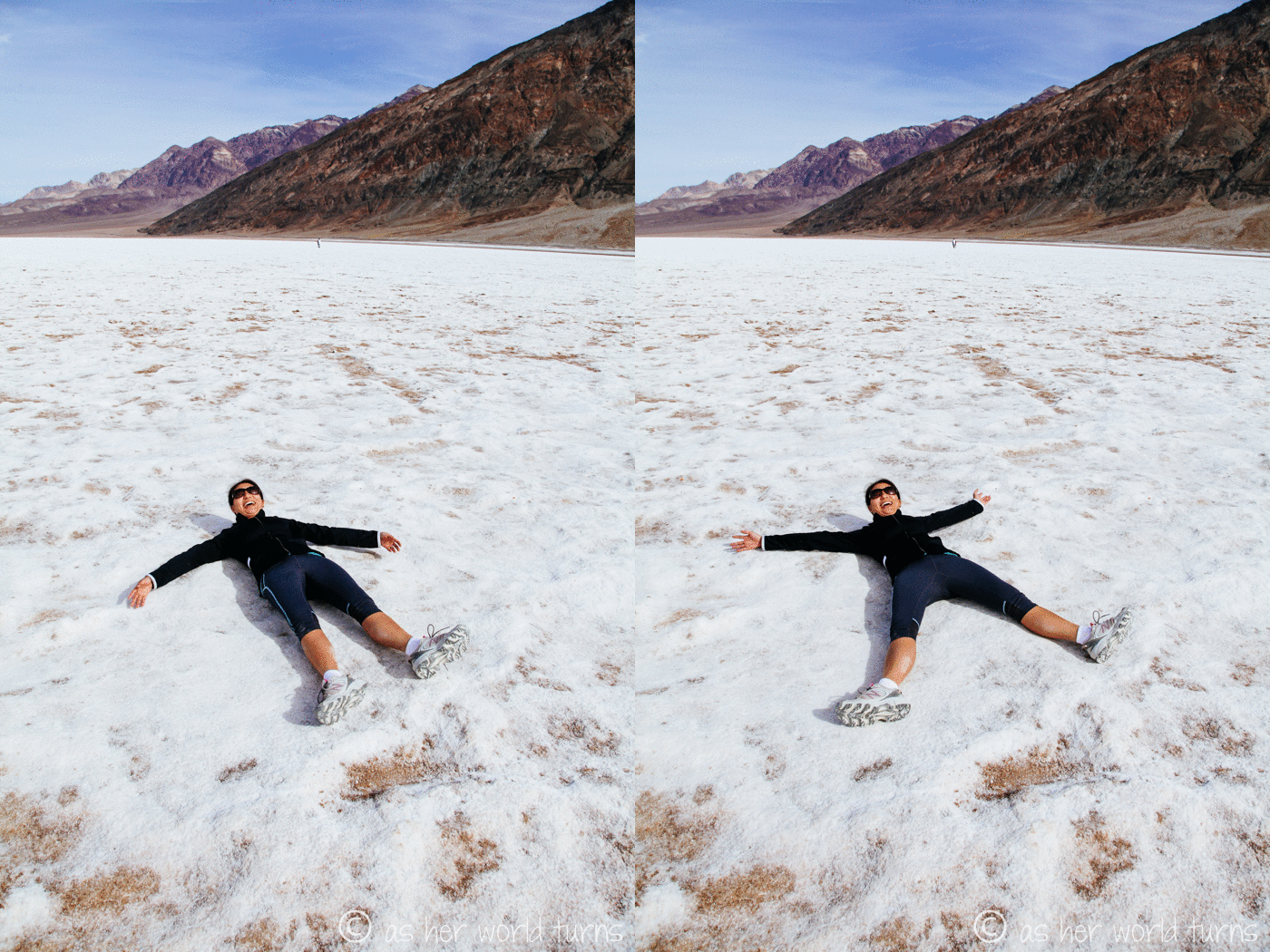
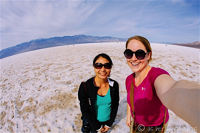
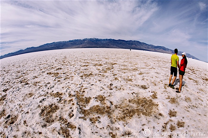
More from the snow salt fields…
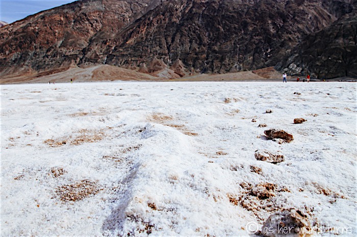
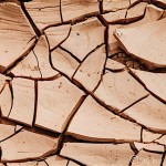
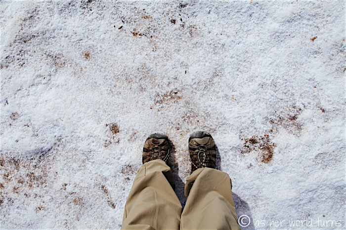
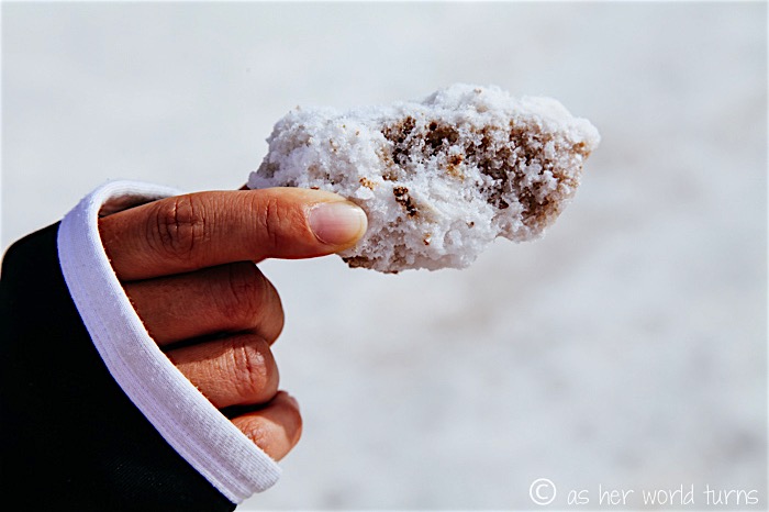
Close-up on a briny specimen:
Heading back towards the parking lot:
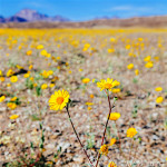
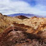
Last Death Valley post coming tomorrow — highlights include more wildflowers, a return to the sand dunes, and the impressive Artist’s Drive scenic loop. I never expected to have this much blog content from our short trip, but there’s a lot to see in this National Park.

