Lesotho (pronounced lay-soo-too) is a landlocked country completely surrounded by South Africa. Two million people call Lesotho home, and about 40% of them live below the international poverty line of $1.25 USD per day. (Thanks, Wikipedia.) Bordering on the Drakensberg mountain chain in South Africa, Lesotho’s terrain is extremely mountainous — my tour guide explains that it is officially considered the highest country in the world, even outranking nations around the Himalayas because Lesotho’s lowest point is higher than the lowest point of any other country. Did you get that? Once I wrapped my head around that fact, Lesotho’s designation as the Mountain Kingdom started to make sense.
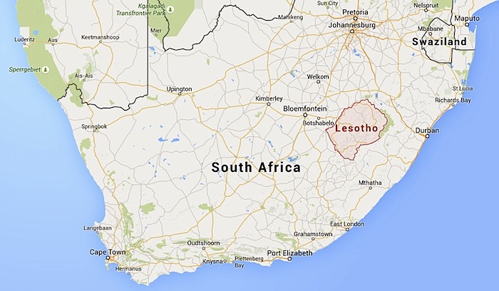
So how did Lesotho come to exist as an independent country within South Africa? For the most part, Lesotho owes its autonomy to the isolating range of mountains that cut it off from the rest of South Africa — for practical purposes, it’s simply too remote and high in elevation to be hotly contested territory. This area became a British protectorate in the late 1800s (at that time it was called Basutoland) but in 1966 gained its independence and officially became the Kingdom of Lesotho.
Today I’m visiting on a day trip from the neighboring Drakensberg area of South Africa — I’m staying at Amphitheatre Backpackers, which runs a day tour to visit a Lesotho village and hike its mountainous terrain (the trip is quite reasonably priced at around $55 USD). Amphitheatre Backpackers has a strong relationship with this particular village and we will go with a local guide to visit the school and meet members of the community.
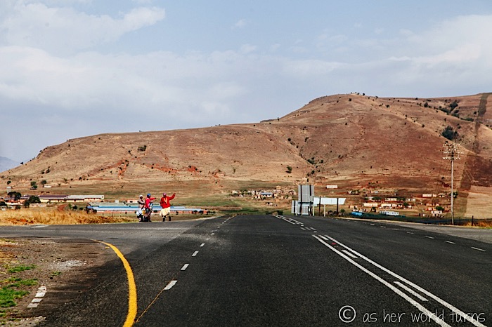
Our group is large enough to split into two passenger vans for a roughly two-hour drive to the Lesotho border. I ask to sit in the front seat to better photograph the journey, as the landscape en route is supposed to be really pretty. Indeed, it is.
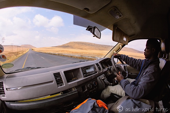
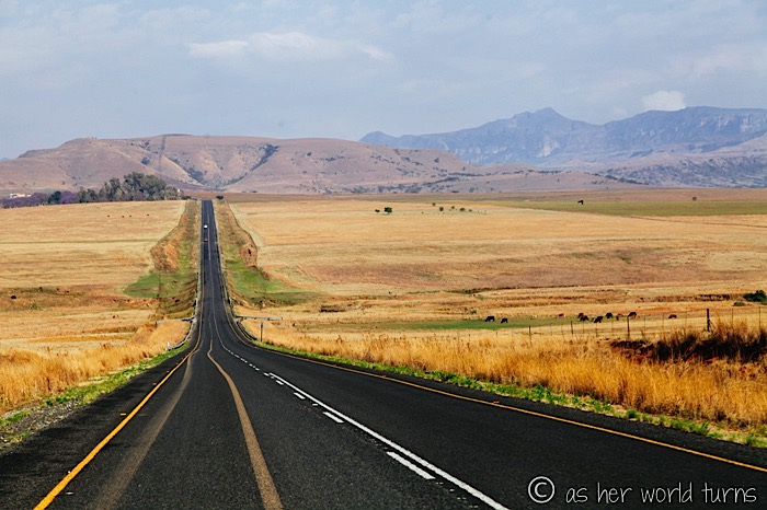
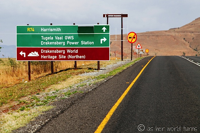
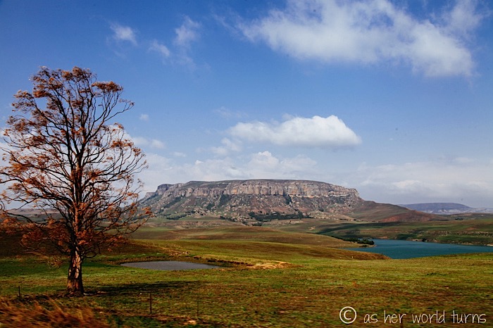
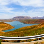
Mountain plateaus and peaks surround our route — but this one below, next to an impressive lake, is the most scenic one.
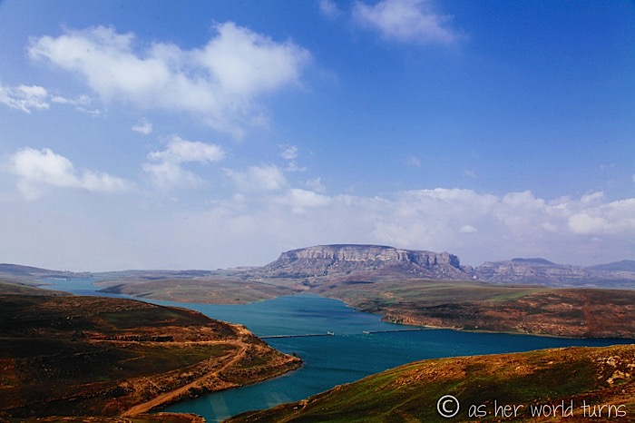
We don’t have time to stop for photo ops but sticking the camera lens out the window works just fine to capture this beauty.
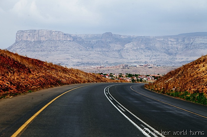
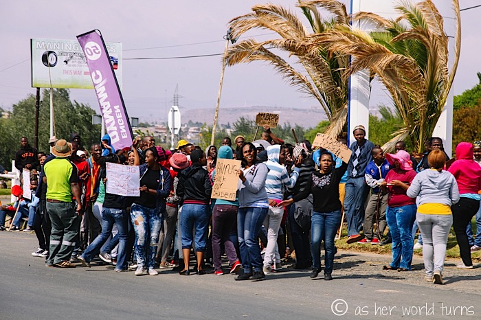
When we stop to refuel (and get coffee / snacks in a convenience store), we notice a group protesting on the roadside. Signs say “bring back our children” — our bus driver thinks it has to do with the university here, but I’m curious to know more. I never do find out the full story.
After refueling, we head up into the mountains towards the Lesotho border.
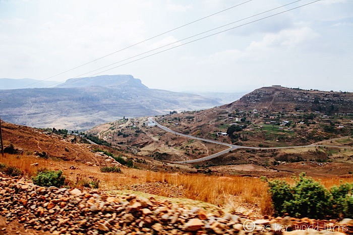
We stop on the South Africa side to get exit stamps on our passports. Under normal circumstances, this is where we’d get an entrance stamp for the country we’re about to cross into… but years ago the Lesotho government stopped staffing this entrance point (I think it was due to budget cuts if memory serves correct). So we are unofficial visitors in Lesotho. Here is our first view of the country:
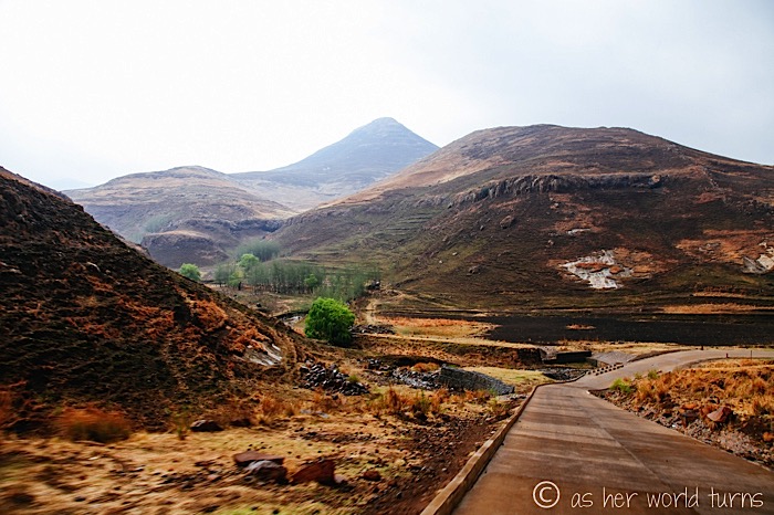
This part of Lesotho is quite remote and just beyond the border the paved road turns into mud. Luckily our vehicles can handle it.
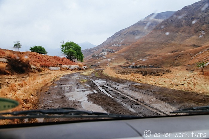
Or can they?!
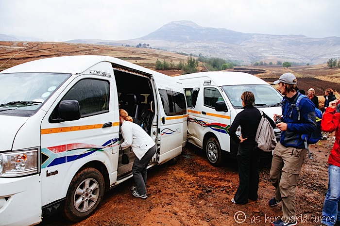
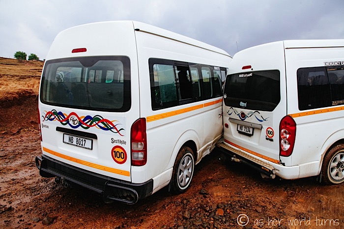
While navigating slippery rock terrain one of the vans slides back into the other van. What are the odds? There are literally no other cars for miles!
Luckily no one is hurt, and the vehicles themselves are still completely functional. However they need to be pulled apart — in anticipation of possible roadside emergency, a local tractor is on standby for this exact reason.
The whole incident is very minor and, if I’m being honest, part of me is even excited by this brush with disaster — it will make for a good story later on.
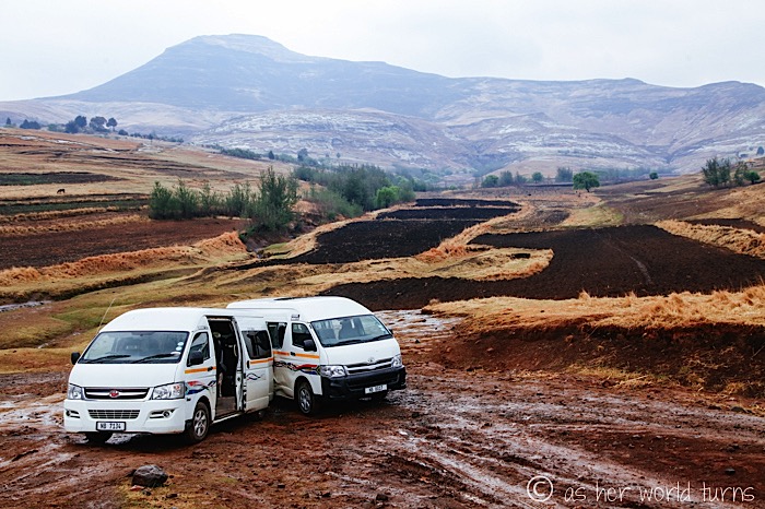
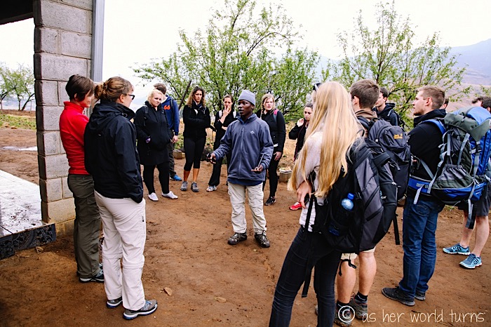
Fortunately for us, the mountain village of Ngoajane (I think that’s the correct name — I spot a sign with that spelling) is less than a mile up the road. Our tour guide Siya doesn’t miss a beat; he leads us onward while the junior guide stays behind until the tractor arrives to pull the vans apart. As Siya says, sometimes you have to go to Plan B. And then Plan C. As far as travel hiccups goes, this one is actually quite minor. Our tour continues as scheduled and we still see everything on the itinerary.
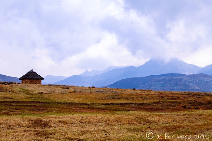
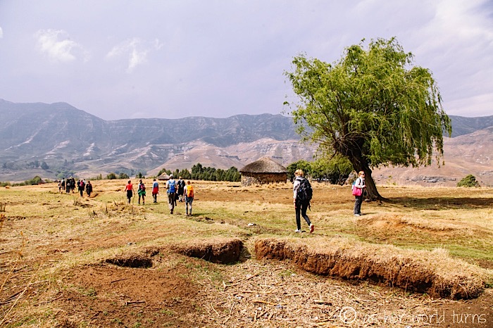
In fact, walking that final stretch to the village is better than driving it — the land here is STUNNING, and now I have more time to photograph it. The clouds overhead provide the kind of moody, diffused lighting that makes a photographer positively giddy.
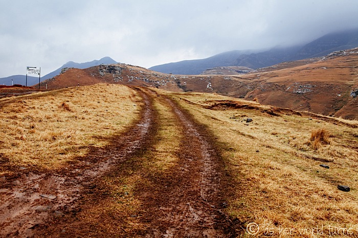
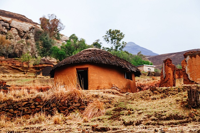
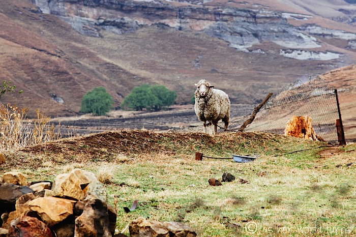
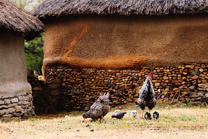
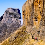
The views as we descend this hill are among my favorite of the day:
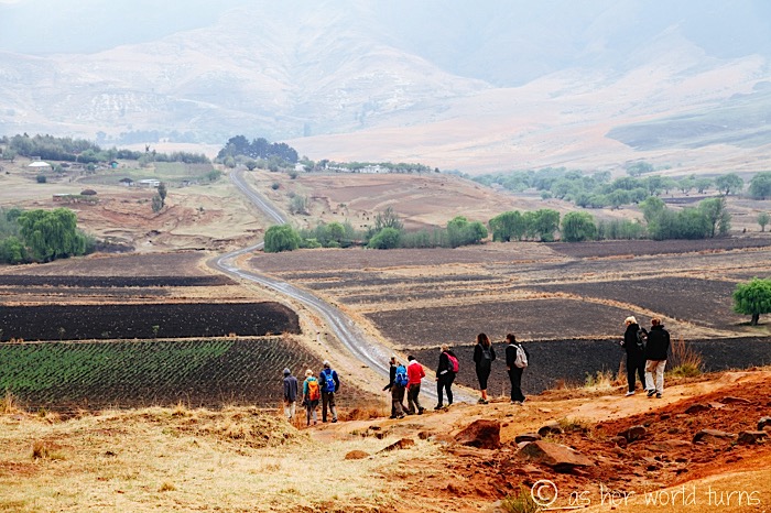
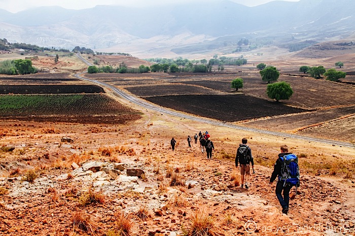
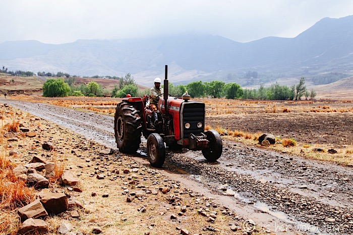
We pass by the tractor heading to pull our vans apart! Kudos to Amphitheatre Backpackers for arranging this back-up plan well in advance — they know the roads here are treacherous, so they have a village tractor on standby in case one of the vans gets stuck. Certainly one van backing into the other was an unexpected snafu, but regardless the company was prepared.
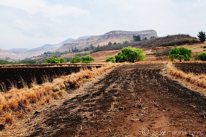
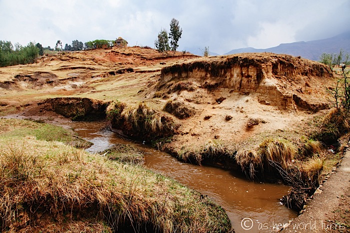
More rugged terrain en route to the village:
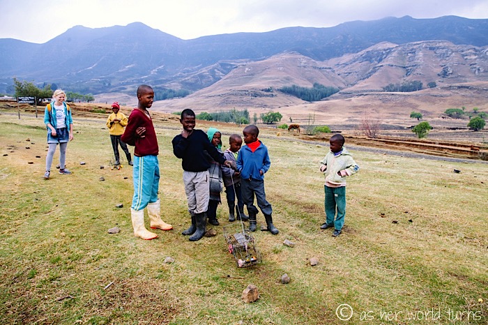
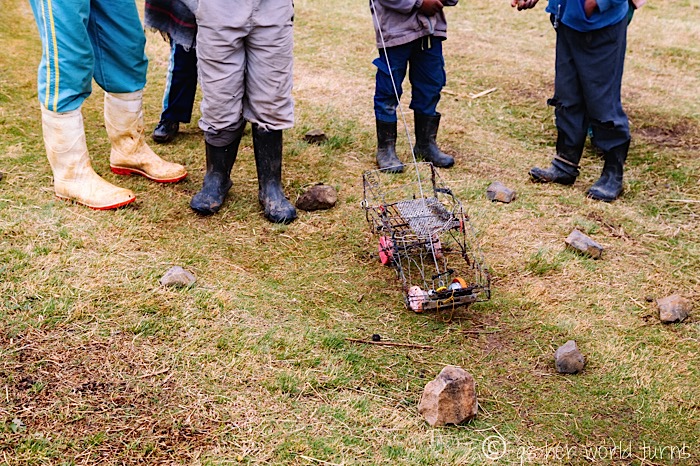
We pass these local kids — it’s the weekend, so they are not in school today. They have built a toy car out of wire and proudly show it off as we walk by.
A closer look at the homemade toy car:
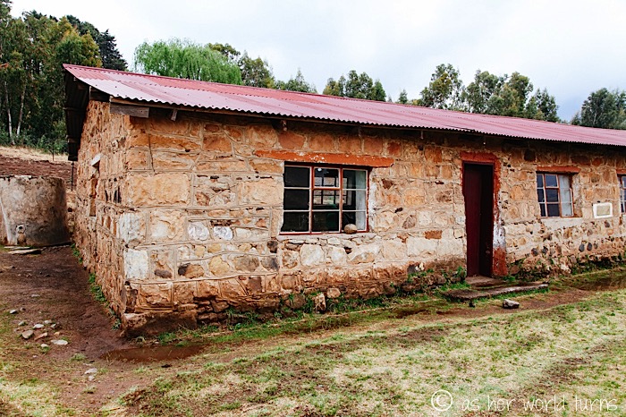
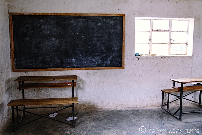
Everyone we meet today is quite friendly. The tours here are operated exclusively by Amphitheatre Backpackers, which as I mentioned has a strong relationship with locals — in fact, they are funding a school in the area. This is the school:
This is a corner of the classroom — there are lots of desk just out of frame:
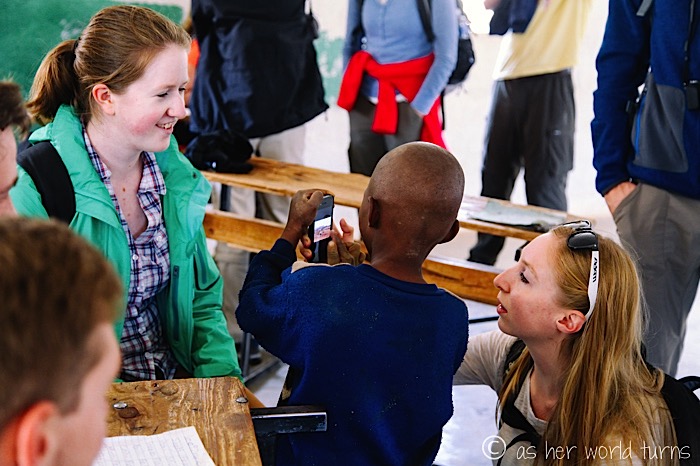
Even on Saturday, the local kids are happy to show off their school room and interact with tourists. Like most children in developing countries, they are enthralled with iPhones and quite curious to play with them.
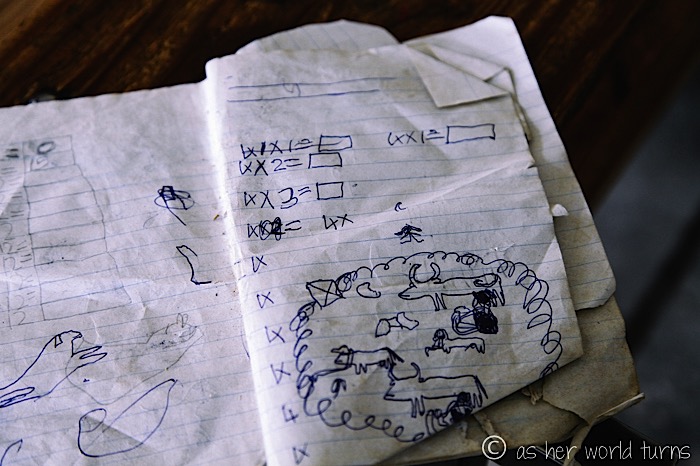
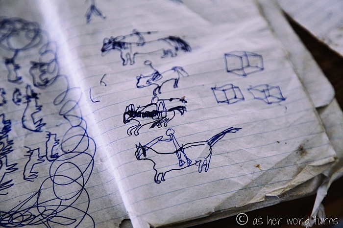
We glance over classroom notebooks and spy doodles in the margins of their multiplication tables. Clearly this behavior is coded into the DNA of children everywhere!
Fact: I drew those same 3D boxes in my own notebook margins when I was a kid.
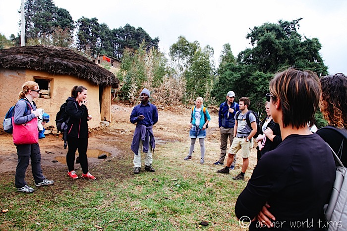
Our guide presses onward, showing us local rondavels next to the school.
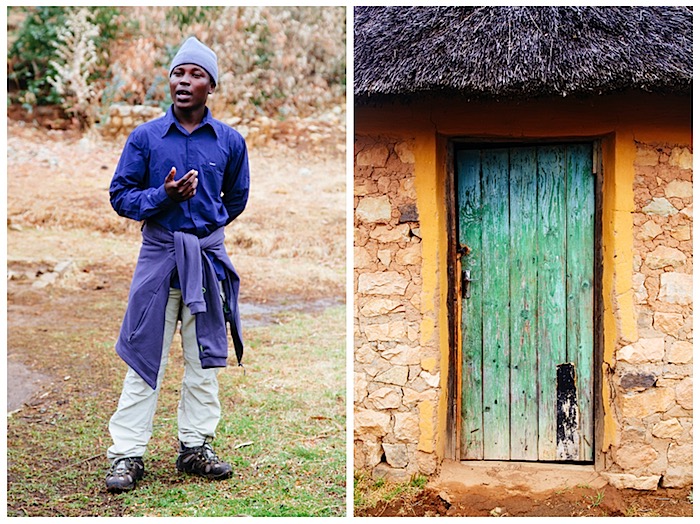
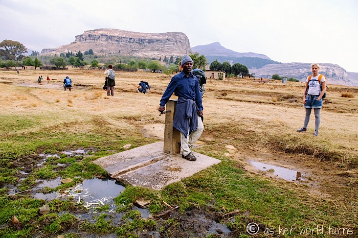
Here’s a well where this community can access water:
Fun times interacting with playful kiddos:
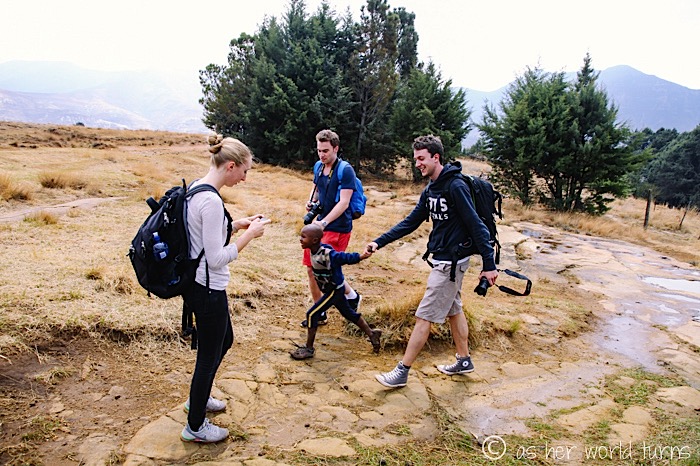
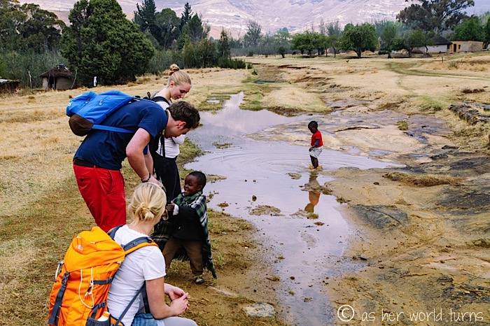
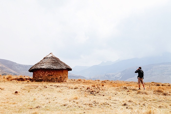
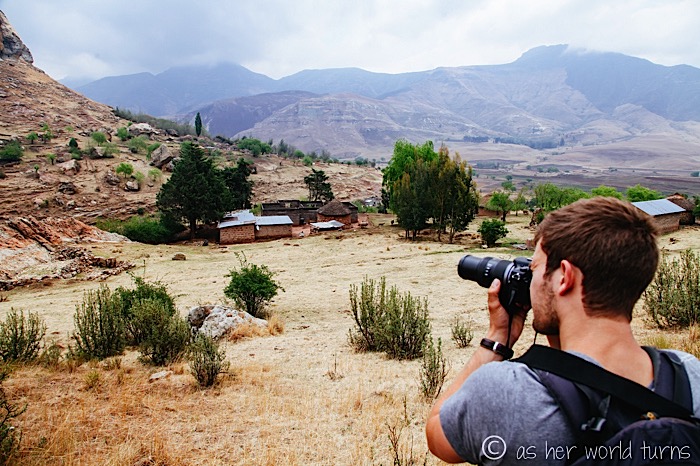
Next we hike up steep terrain to cave dwellings high above the village.
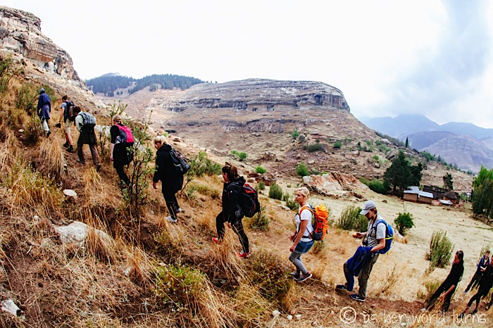
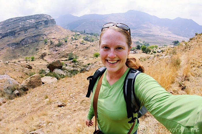
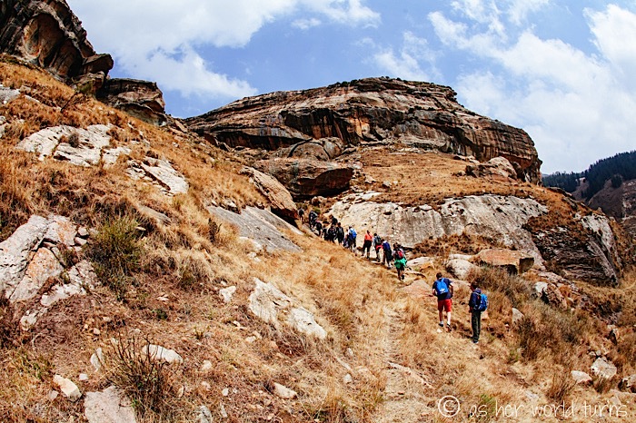
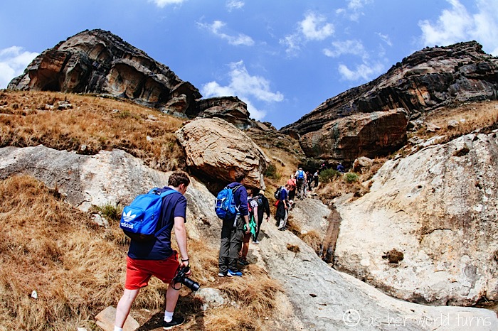
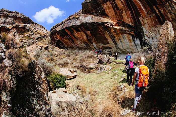
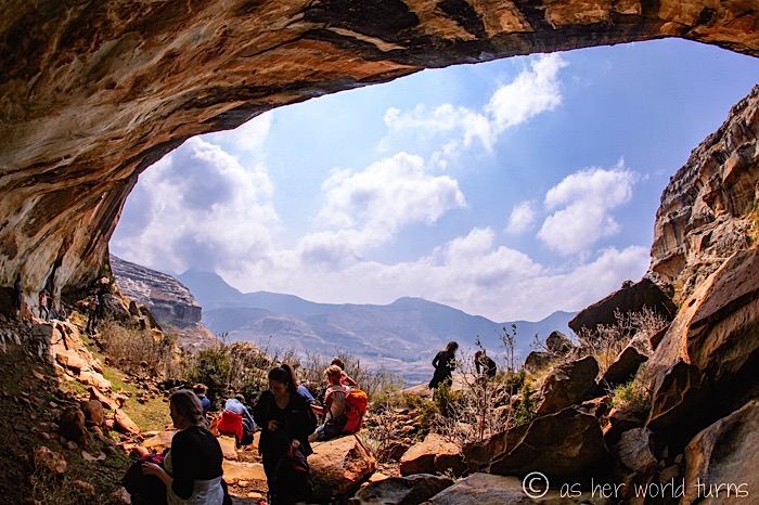
We pause to eat lunch (provided that morning by the hostel) as our guide Siya explains more about the region’s history.
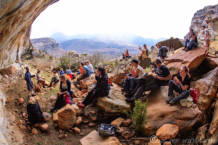
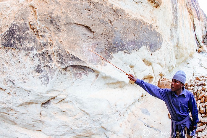
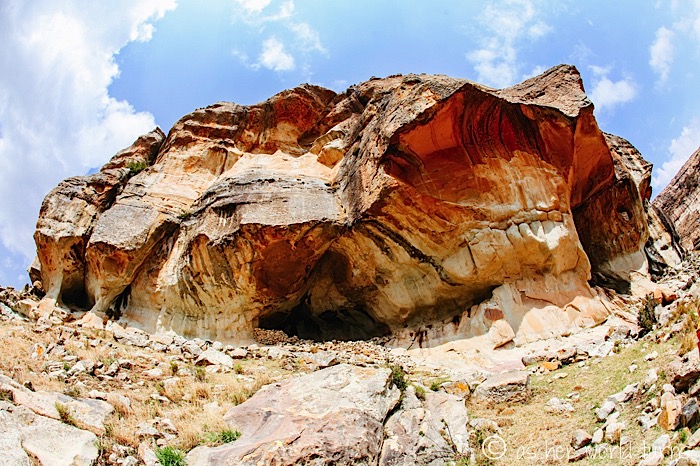
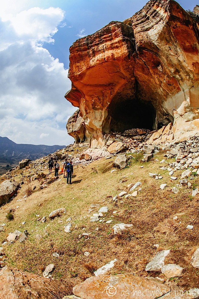
Not that long ago nomadic tribes would hide inside mountain caves (like this one) if they were in danger from outside forces. They would leave markings on the cave to indicate directions to nearby water sources in attempt to assist other tribes who would take refuge here after them.
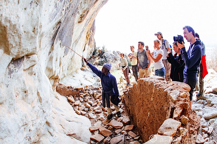
These rocks and cave dwellings are enormous:
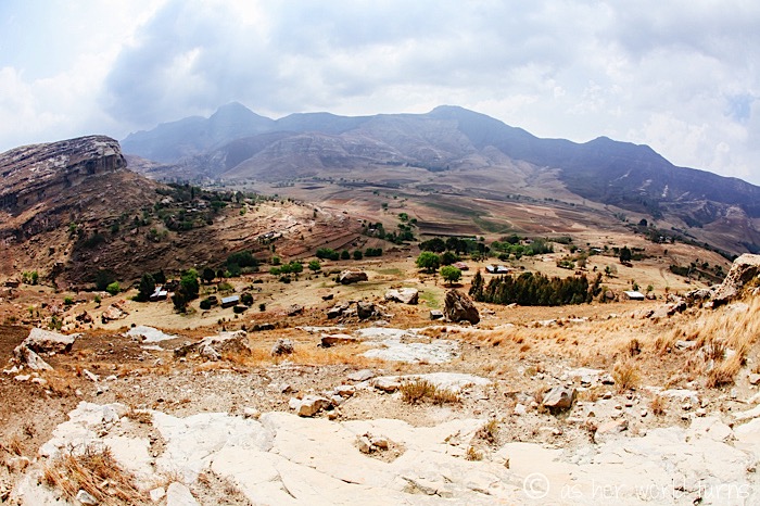
View looking down towards the village:
We stop once more in the village before heading back to our vans. Our guide explains that neighbors here are generous with each other — there’s a tradition of hanging a flag outside their dwelling if any family has a fresh batch of food or drink to share. In fact, the color of the flag indicates the item on offer — today we spot a white flag, which means homemade beer. A yellow flag signifies a beverage made with pineapples (though I may have misunderstood that). Other colors are used for various kinds of food; I just can’t remember what they are.
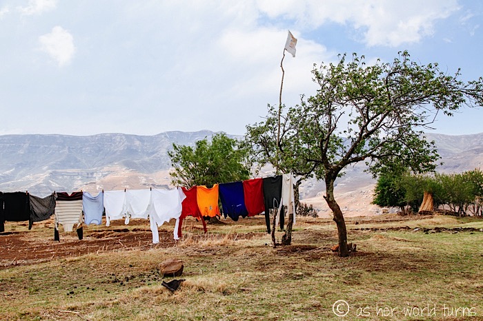
What a cool idea — can you imaging hanging a flag to let your neighbors know you made a fresh batch of lemonade or cookies or stew that you’d be willing to share? And that they would do the same? What a lovely way to live in community with each other.
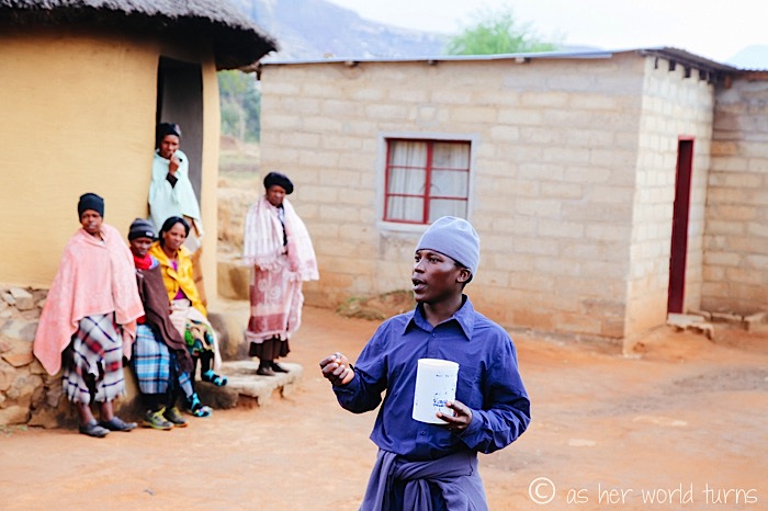
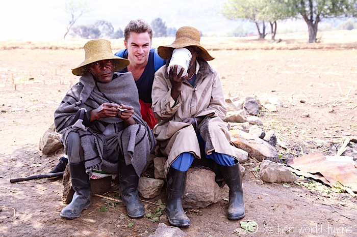
The family who brewed the beer passes around this white container for all of us to try it — locals and tourists take sips.
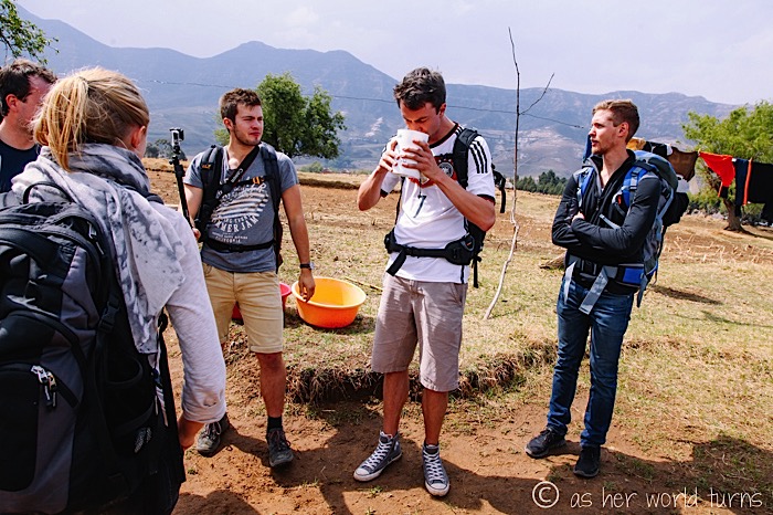
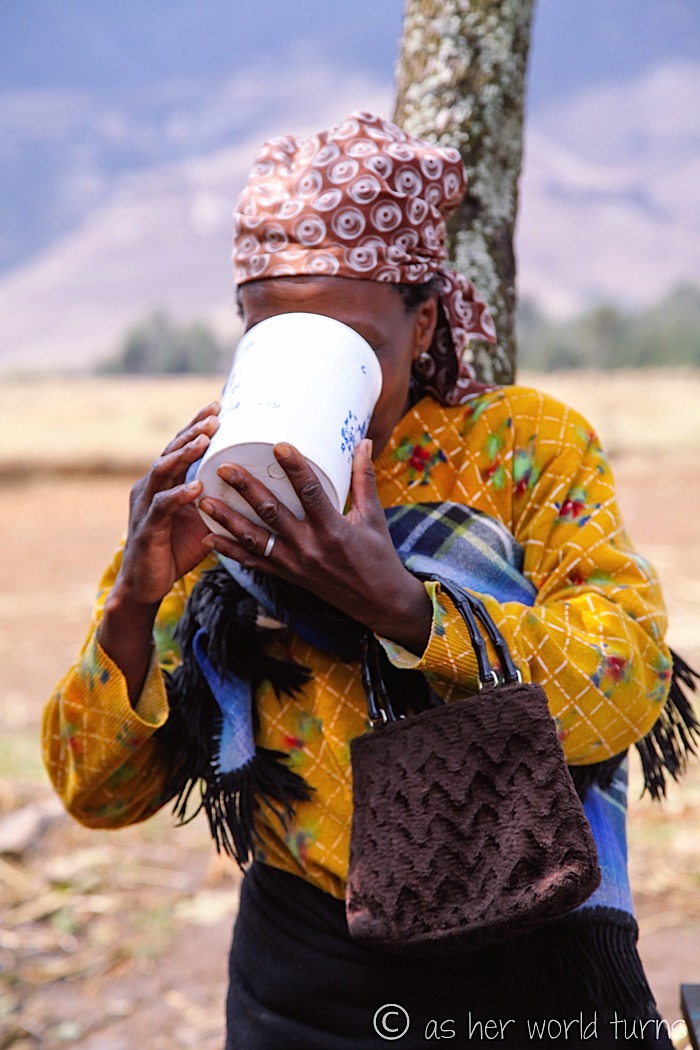
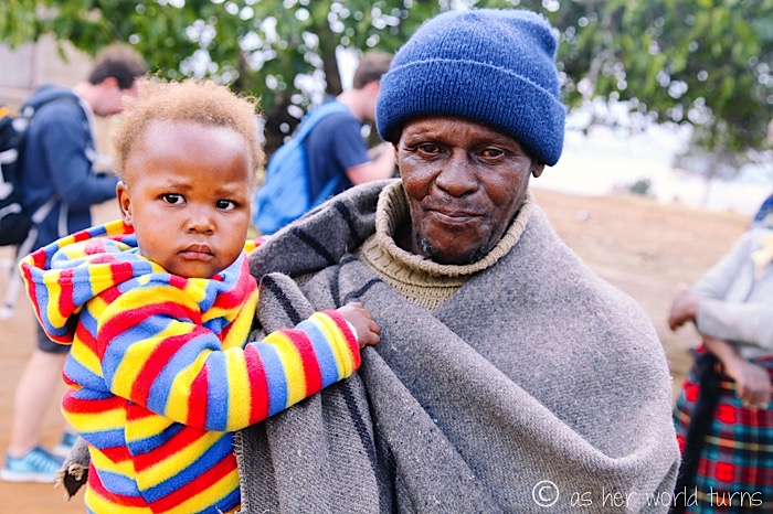
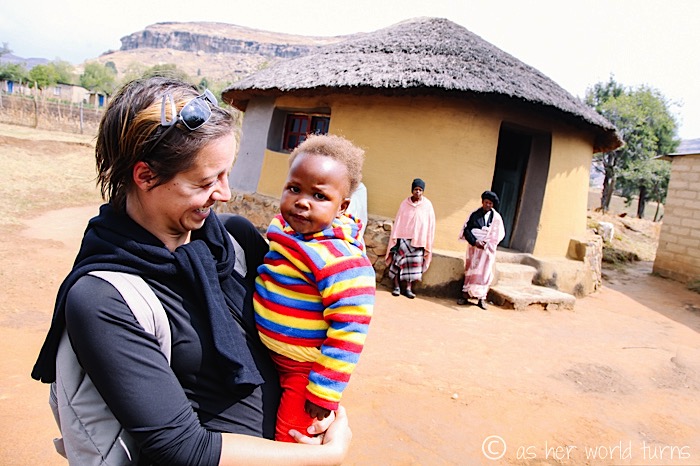
As I mentioned earlier, this tour company supports the local school so villagers are open and welcoming. This man proudly shows off his grandchild.
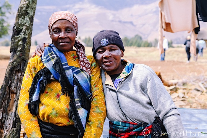
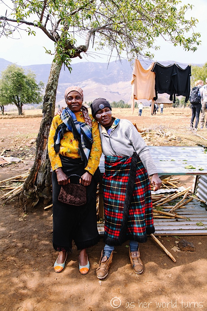
These women ask me to take their picture and then laugh uproariously when I show them the image on the back of my camera.
Back to the vans…
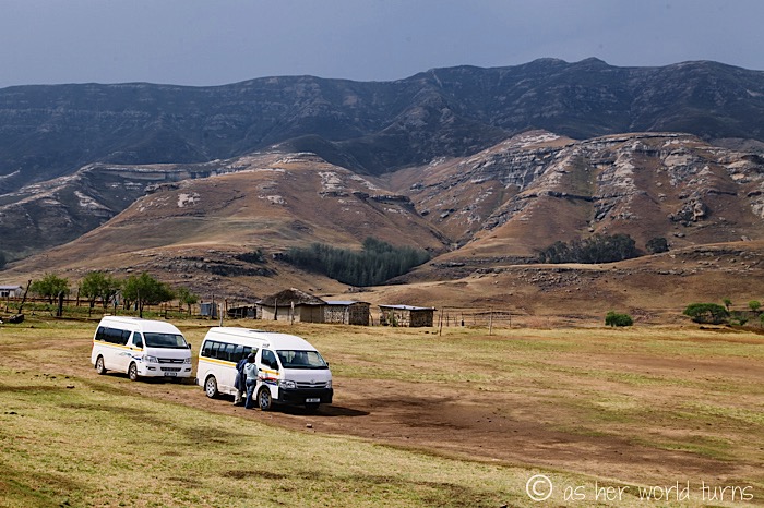
The vans are all set. We stop briefly at the local police station to report this morning’s minor accident, and then depart for the South African border (which closes around 5pm — we make it by 15 minutes).
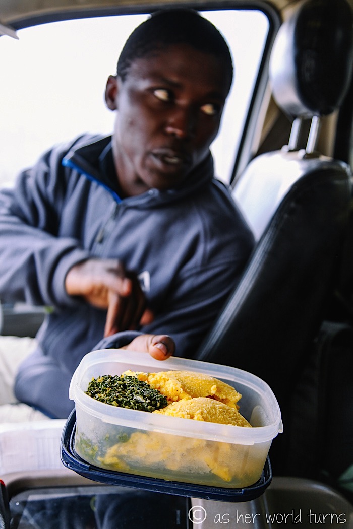
Local villagers have prepared food for our group as part of the tour — we take a container back to share in the car. There’s a starch made from local grain as well as cooked greens.
And then we begin the two-hour drive back to our hostel. It’s a long day, but SO worth it. I’m moved by the beauty of this country and wish I had scheduled more time here. When chatting with the owner of Amphitheatre Backpackers later that evening, she mentions that they can set up longer stays at the village — that sounds like such a unique experience. The landscape here is fascinating. I hope to get back to Lesotho someday to see more of the country.
Many thanks to Amphitheatre Backpackers for discounting my day trip to Lesotho. Opinions are my own.



Hi, What time of the year did you travel to Lesotho and Drakensbergen?
Hi Tom, I was there in September.