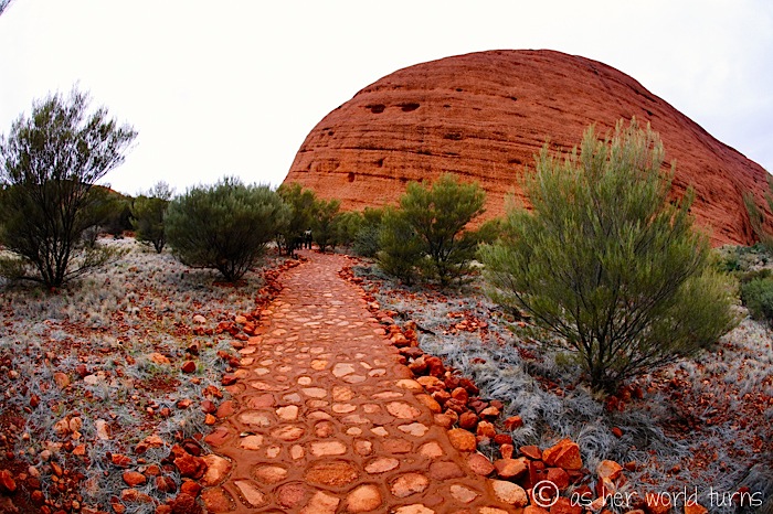
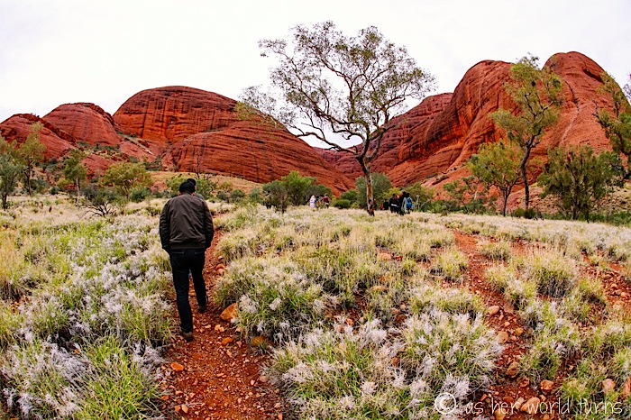
Kata Tjuta hosts our second hike of the trip. While this landmark is less known than its famous neighbor Uluru (Ayers Rock), it is equally impressive. Even on a cloudy day.
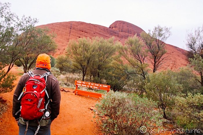
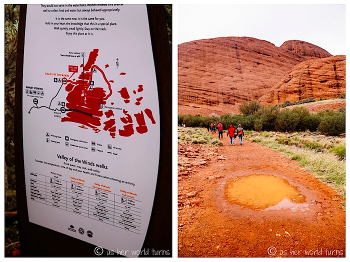
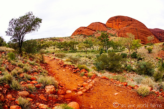
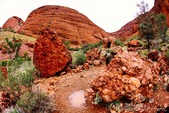
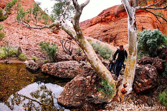
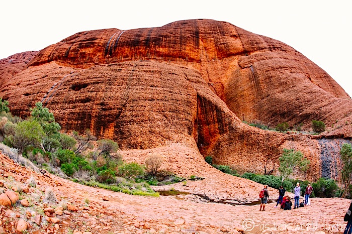
We hike the Valley of the Winds, a 7.4 km circuit which snakes through a handful of the 36 domed rock formations of Kata Tjuta.
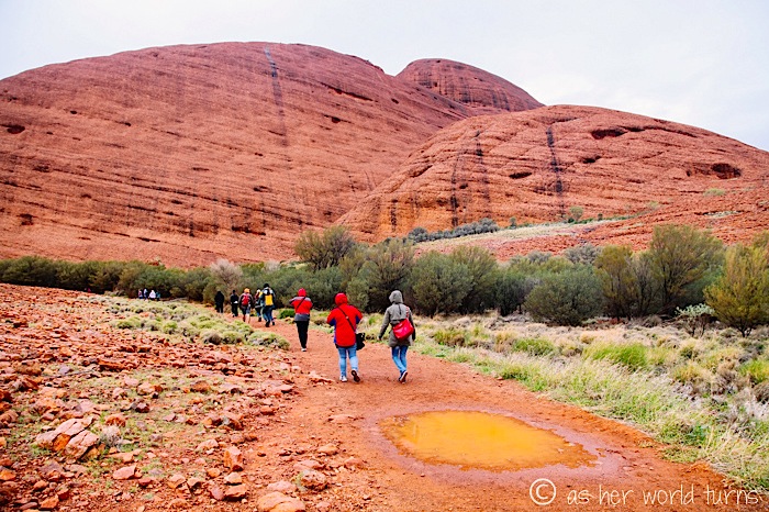
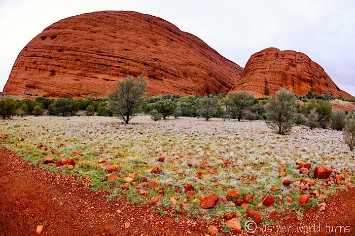
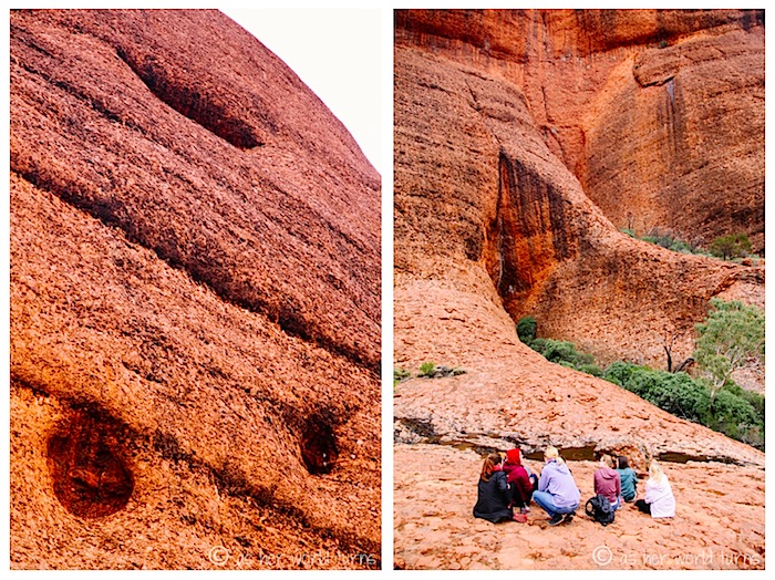
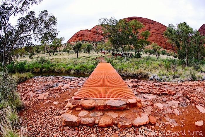
I’m fascinated by the nooks in these rocks; the imprint below left reminds me of a dog’s paw print squished in the mud.
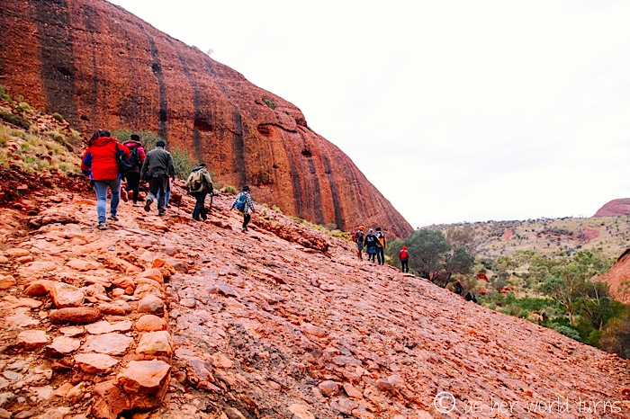
Our guide Angus uses small rocks to explain how this area formed over the past hundreds of thousands of years.
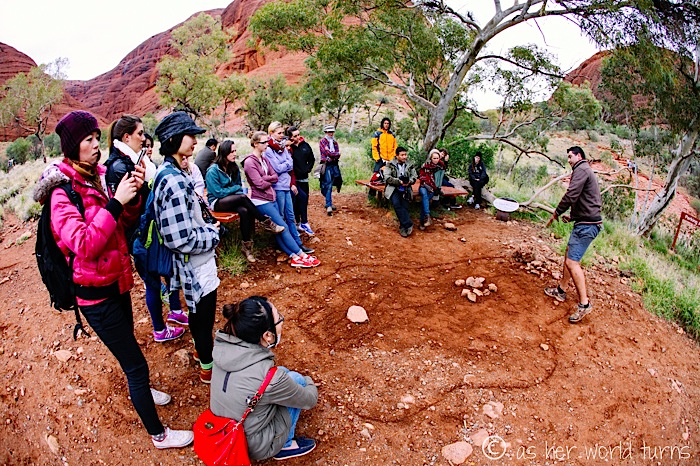
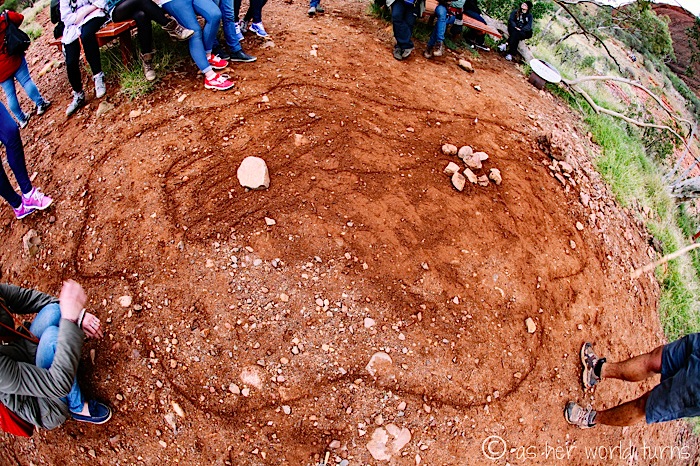
The big rock on the left is Uluru and the pile of rocks on the right is Kata Tjuta. These were once part of the same formation but now they lie about 16 miles apart. It’s an alluvial fan, which I learned is a cone-shaped deposit of sediments built up by streams over time. This aerial shot of an alluvial fan in China might give you a better example:
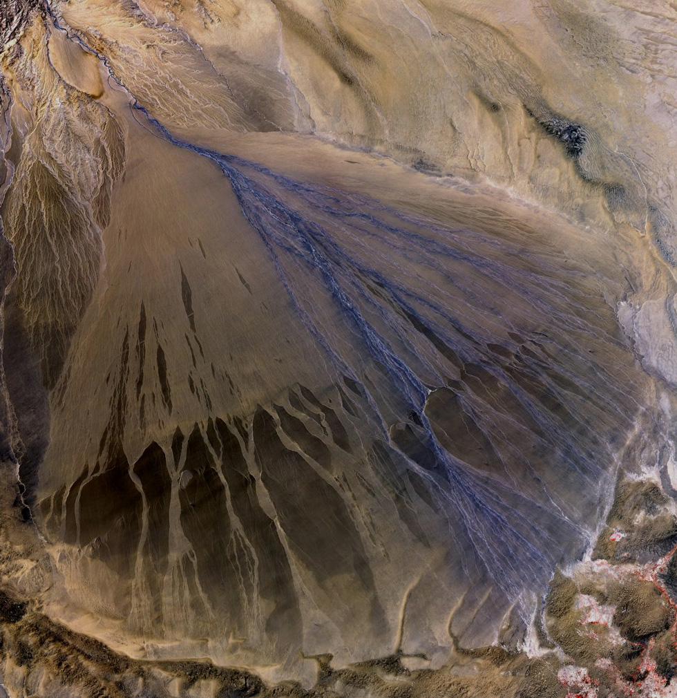
[image via]
That’s all the science I can muster for one day! Back to the pretty pictures.
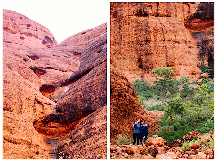
A selfie. I hate that word, but who am I to argue with the vernacular?

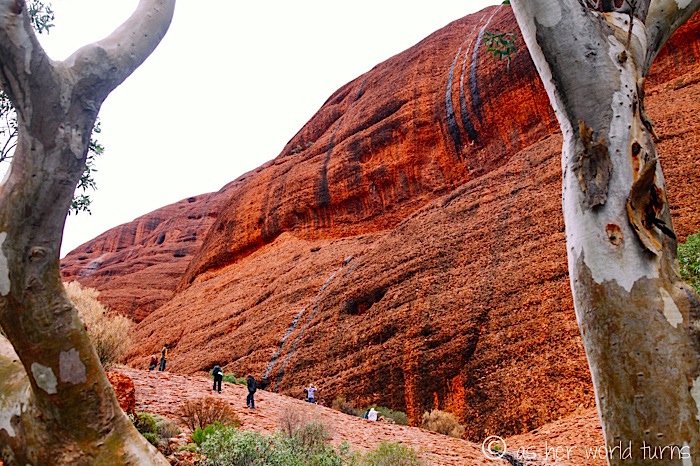
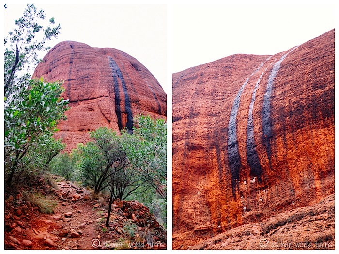
Due to inclement weather, small waterfalls begin to trickle like sad, black tears down the face of these rocks.
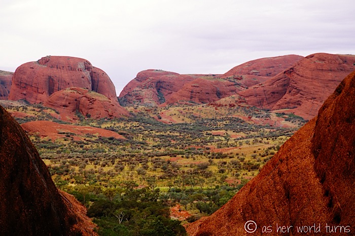
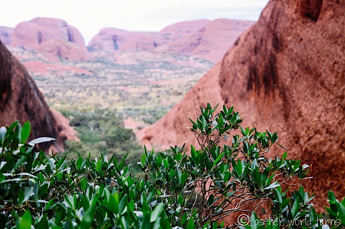
Here’s the best view from our Valley of the Winds hike.
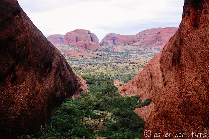

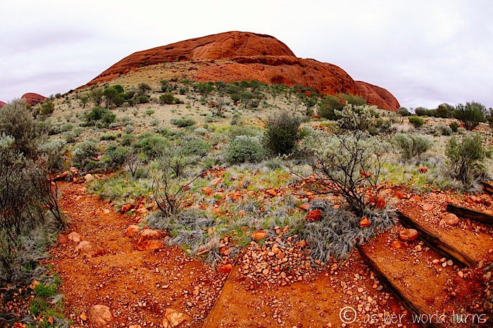
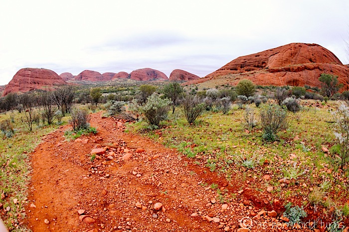
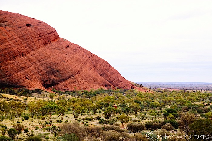
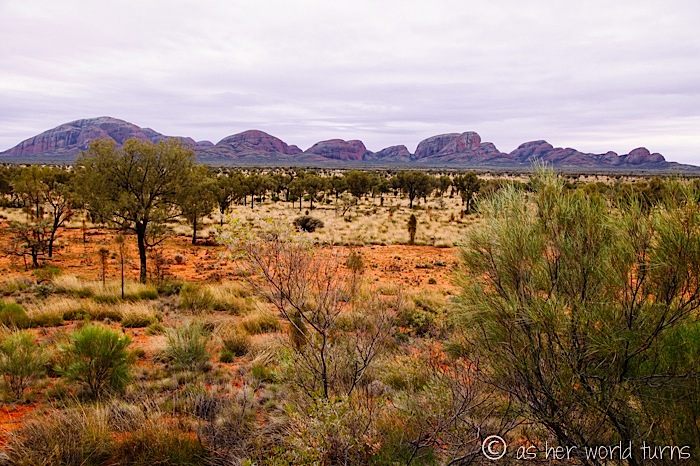
Here’s another view of Kata Tjuta from a look-out point many miles away.
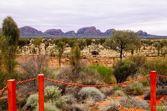
You can really appreciate the scope of these giant rocks lined up across the horizon like the back row of pins in a bowling alley. That makes Uluru the single bowling pin at the front, thanks to that alluvial fan formation.
Tomorrow’s post will feature photos from our first visit to sacred Uluru!
This post is sponsored by Muglas Adventures, who generously hosted my 3 day tour of the Outback. Opinions are my own.





Love the selfie!!
You know you’re a great photographer when you make rocks look beautiful. Those are some really impressive pictures, love all the colors and textures. So much depth. So pretty!
Thank you!! The rocks did all the work. I just snapped the shutter