Welcome to Day 2 of my Iceland Road Trip! After walking around charming downtown Akureyri, I depart around 3pm for my next destination: Lake Myvatn. It’s actually just a 90 minute drive if you do it without stopping, but as you’ve probably suspected, I plan to stop a lot. Until you visit Iceland it’s hard to appreciate just how dramatically the scenery changes from minute to minute while driving along the Ring Road. The benefit of driving my own rental car is that I can pull over as often as I’d like to photograph the landscape, and I take full advantage of that.

NOTE: While the map above depicts taking the northern route around Lake Myvatn, I actually took the southern route once I got to the lake because of the pseudo-craters down there.
Highlights of today’s road trip include Godafoss waterfall and the pseudo-craters on the southern side of the lake. There is also a Turf House Museum not too far off this route, but when my sister and her friends looked for it a few months ago, they did not find it. And since I’m eager to get to my campsite early today (to avoid last night’s fiasco setting up the tent in the dark), I skip the museum. I plan to see turf houses at Skaftafell in a few days so I don’t feel bad about missing them here. (There is also another turf museum in Selfoss on the other side of the country.)
View as I drive out of Akureyri:
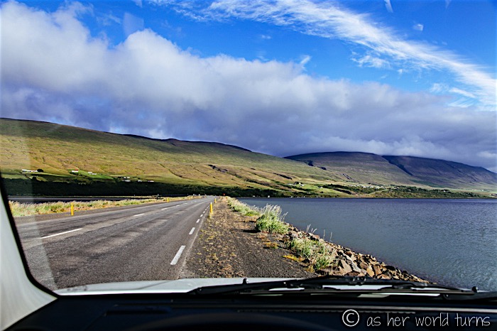
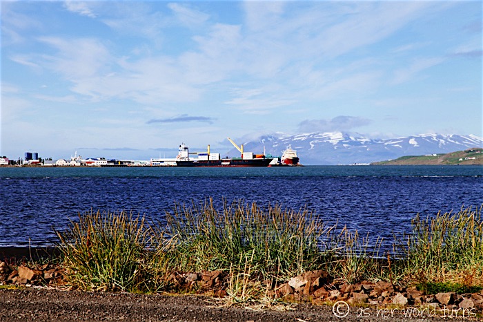
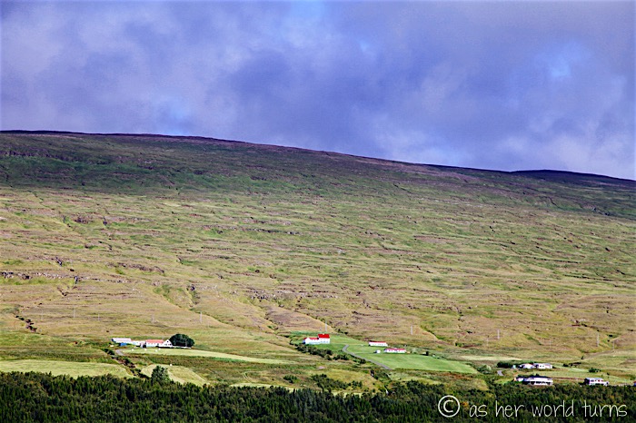
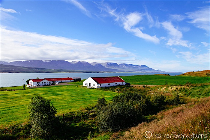
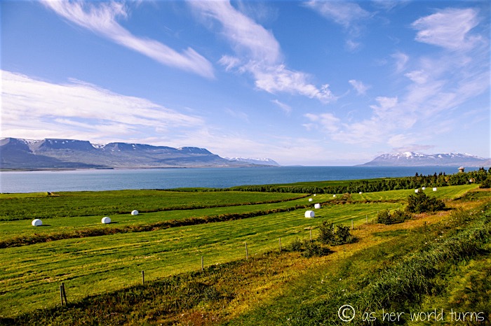
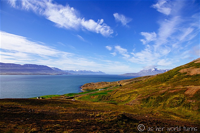
Within about 10 minutes of departing Akureyri, I’m already pulling over to admire the views. These next few images are all snapped along this route.
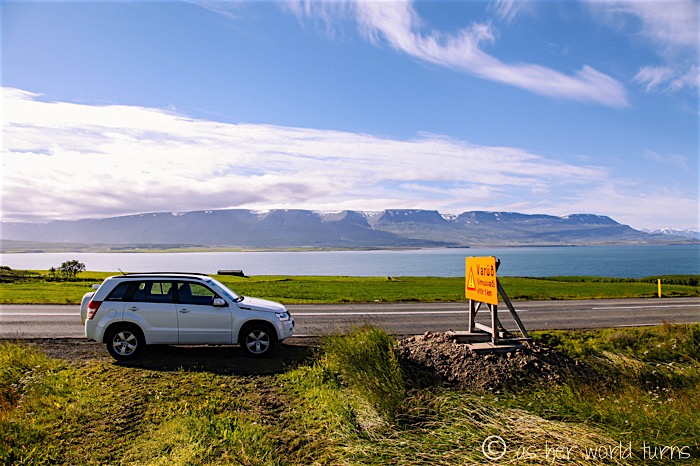
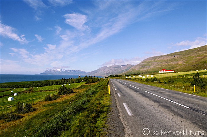
Those giant white cylinders that look like oversized marshmallows are actually bales of hay.
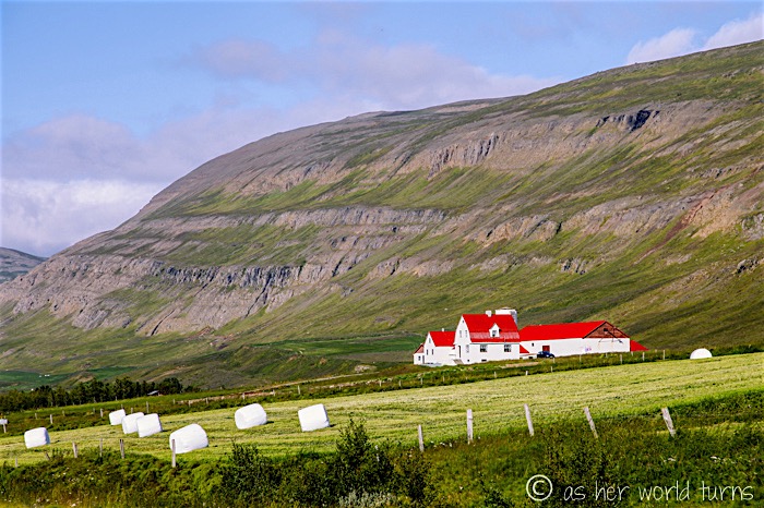
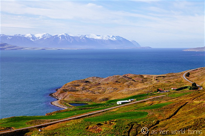
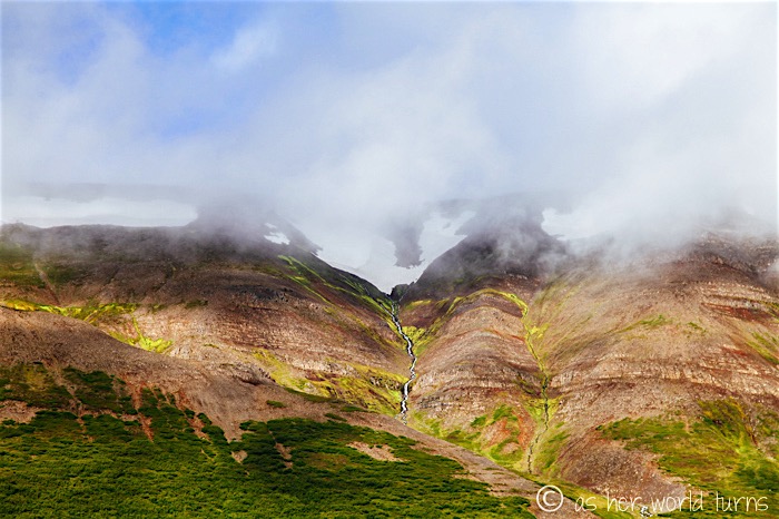
At this point the Ring Road turns away from the water and into the mountains:
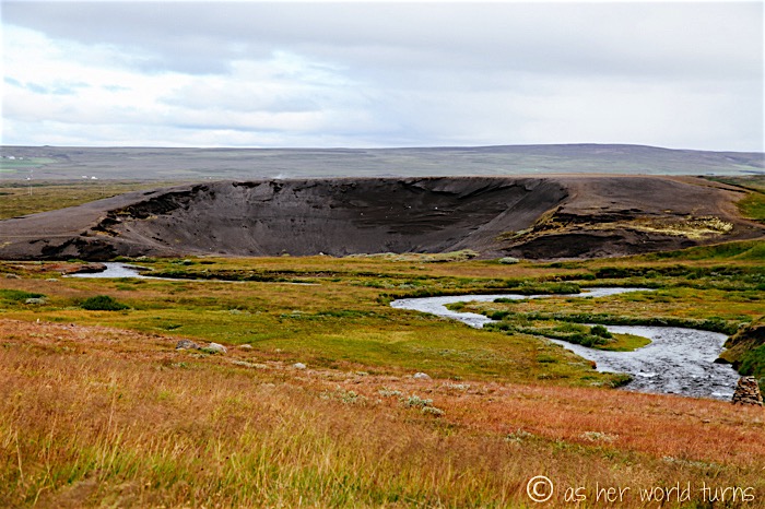
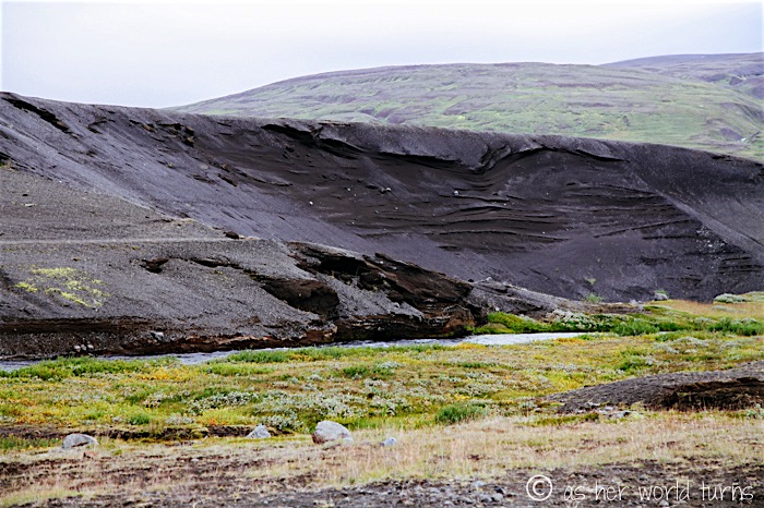
Right before reaching Godafoss waterfall I pull over at this sight below — is it hardened lava? A crater? Iceland is filled with random geological wonders like this.
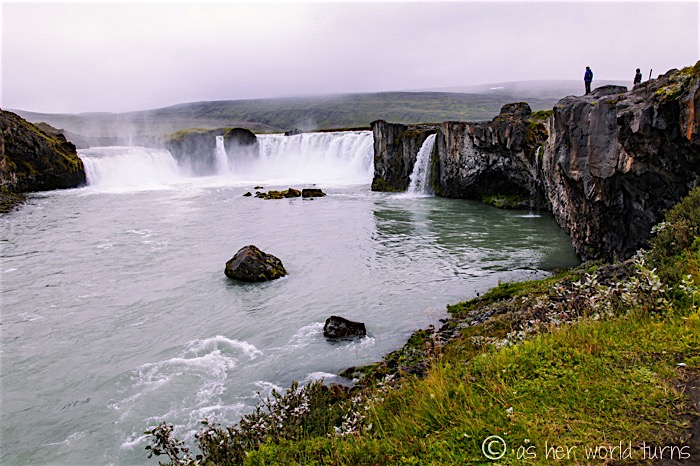
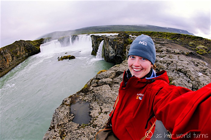
I spy the mist of Godafoss in the distance…
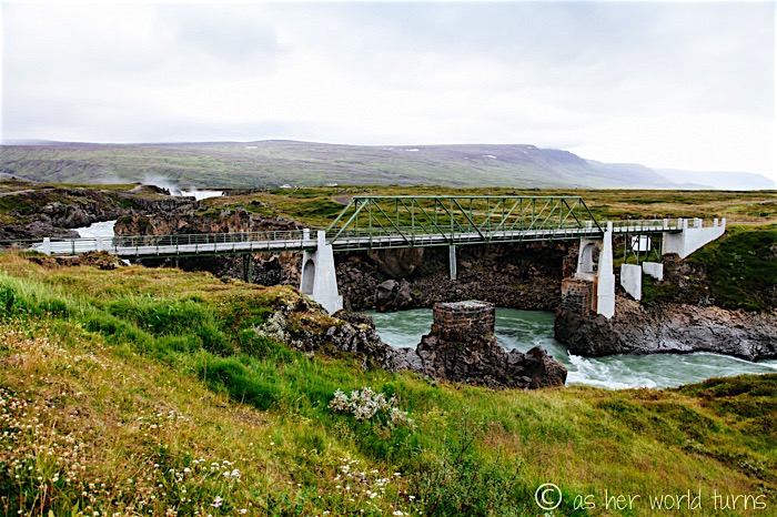
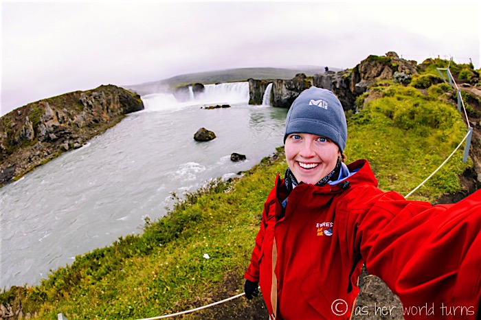
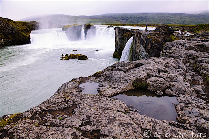
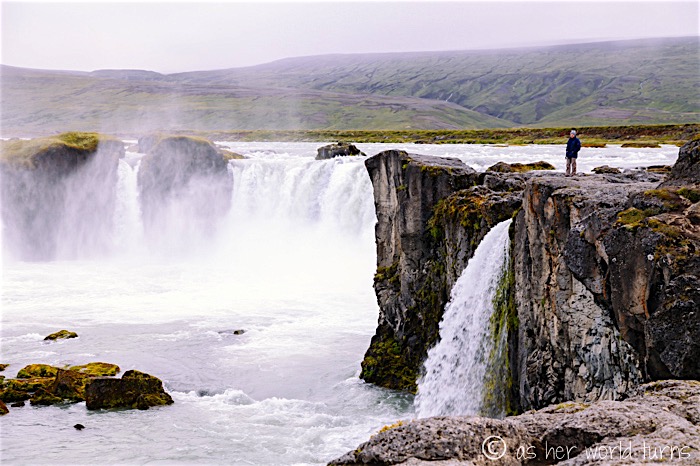
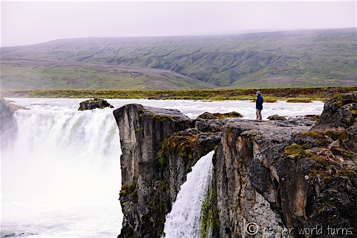
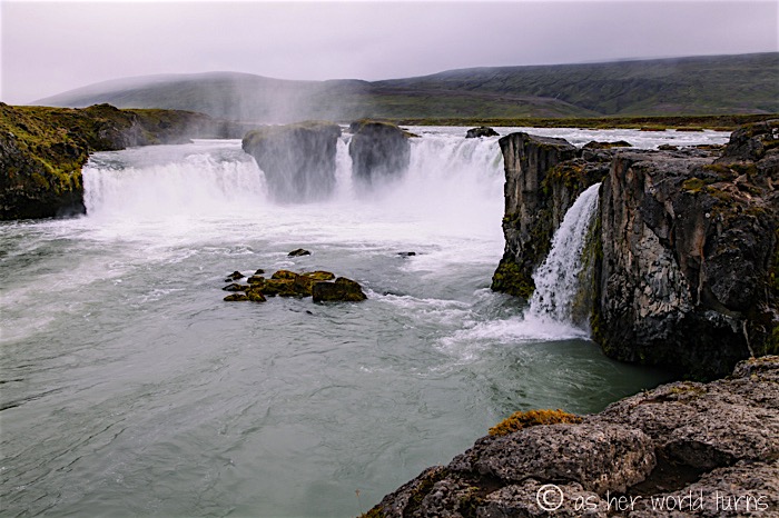
Godafoss could not be easier to visit — the entrance is right along the Ring Road so it’s easy-on, easy-off. Park and walk about 100 feet and you’re there; take care not to slip on the wet rocks. There’s also a visitor’s area with cafe and restrooms a little further up the Ring Road, over the bridge just beyond the falls. During my sister’s visit in early July she said the bugs were terrible here, but they are totally gone by the time I get here in late August.
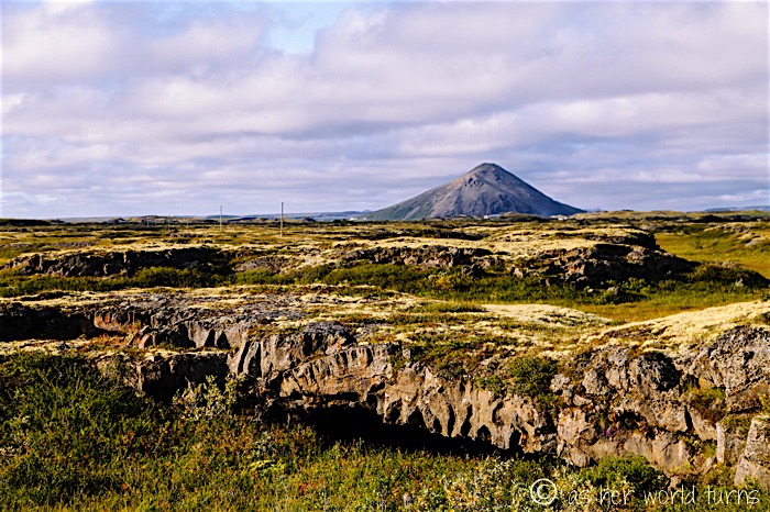
A ways down the Ring Road I spot another reason to pull over and snap a photo: the earth has split open. Was this a former lava tube? This kind of topography is hardly unusual for Iceland but I’m still blown away by how the landscape has been ravaged — with beautiful results — by geothermal activity.
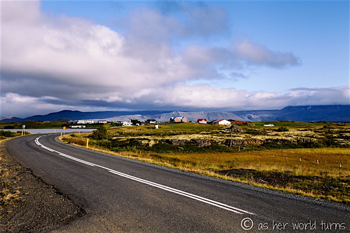
Slowly making more progress towards Lake Myvatn… I decide to take the southern route around the lake.
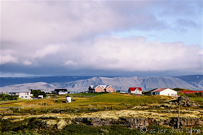
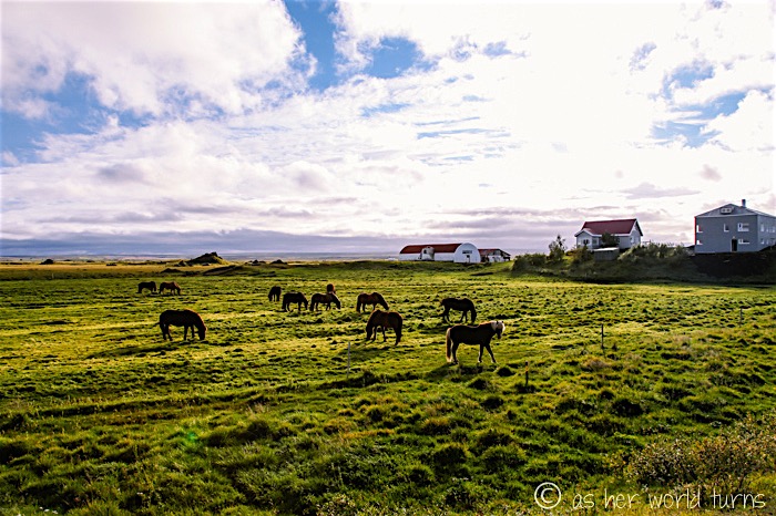
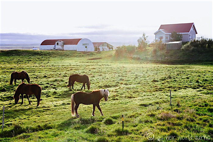
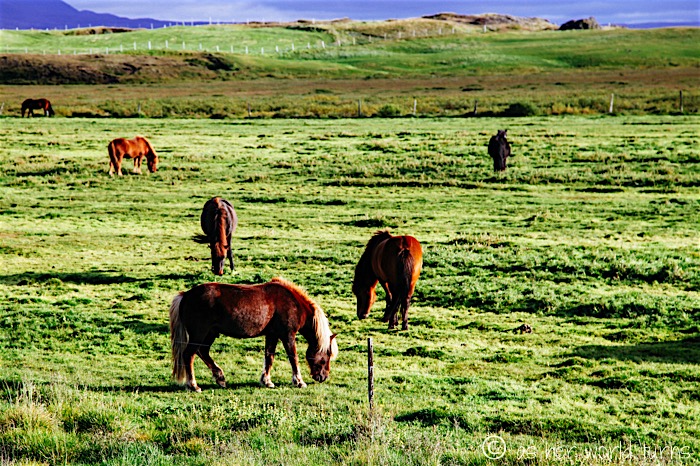
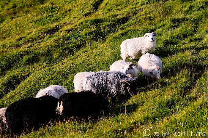
More Icelandic horses! These guys are everywhere but I’m still looking for an angle that best shows them off — I’m not sure this is it, but the scenery and light sure are pretty.
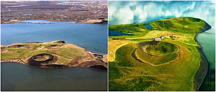
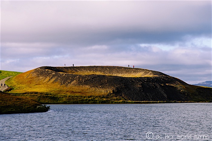
At this point I’ve arrived at the pseudo-craters area. Here’s a little background on this phenomenon:
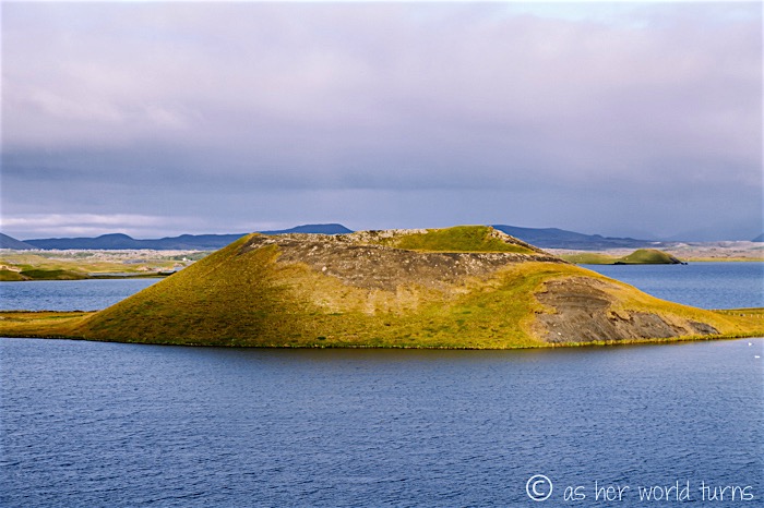
“A pseudo-crater looks like a true volcanic crater, but it’s not. These distinctive landforms are created when flowing hot lava crosses over a wet surface, such as a swamp, a lake, or a pond. (…) Pseudo-craters are also known as rootless craters, since they are characterized by the absence of any magma conduit which connects below the surface of the earth.” (via)
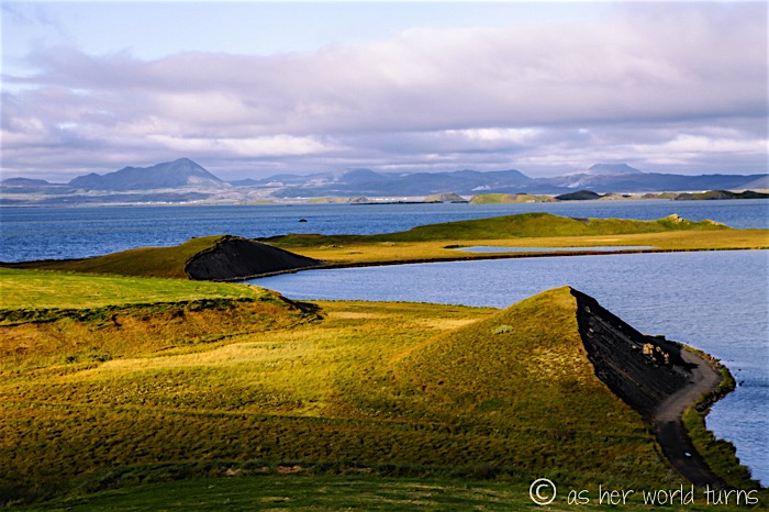
So lava covers the floor of these ancient lake basins, and over a very long time — 2,300 years in the case of these Myvatn craters — the water and land around the area shifts to reveal them. These former lakes now appear as craters where the hardened lava is exposed.
There’s a parking lot just off the road and it’s a short hike to the top of this crater:
Another pseudo-crater in the distance:
View from the top of a crater:
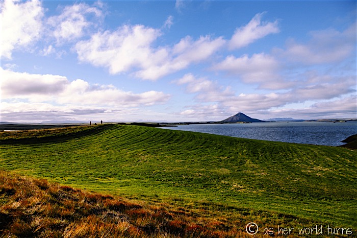
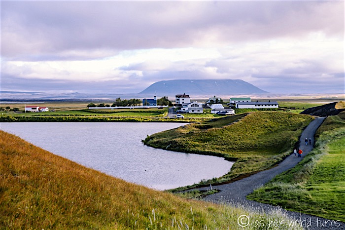
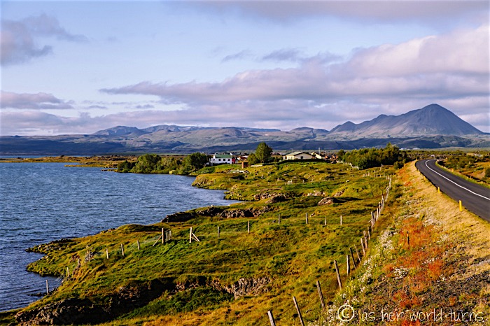
I press onward around Lake Myvatn towards my campsite for the evening. The scenery continues to impress.
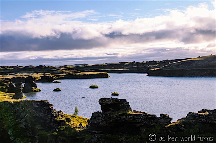
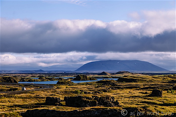
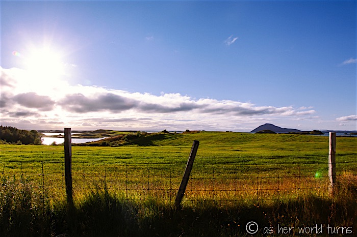
Love this view on the eastern shore of Lake Myvatn:
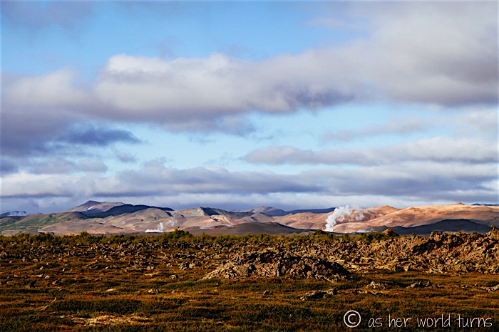
I spy (more) geothermal activity in the distance… those are the Myvatn Nature Baths where I will stop later this evening:
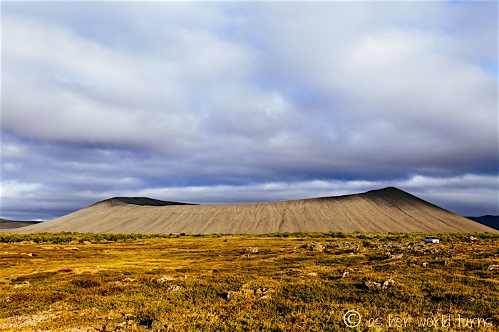
Just before arriving at tonight’s campground, I pause at Hverfjall crater — it’s just off the side of the lake. My sister and her friends climbed it during her trip; she said it only took them about 15 minutes to get to the top. I decide to skip it in favor of more time setting up my tent before sunset, but if you’re looking for a quick hike with dramatic views this is worth a stop. The crater is 1 km in diameter and you can walk the whole rim.
Tomorrow I’ll share photos of my epic camping spot on Lake Myvatn — it’s easily the best camping location in all of Iceland. And I saw the Northern Lights here in Myvatn! Best surprise of this trip.




Was it an easy drive? I am considering rent a car and drive from Akureyi to Lake Myvatn as well. Do you need a GPS for guide or is it a straight simple drive. Are there signs on the road? Your suggestions and umlauts are highly appreciated.
Thank yiu
Yeah it’s a pretty easy drive. If you don’t have GPS, you will want a map, or print out the route before hand. There is signage but a map will help. Good luck!
Hi! Thanks for the awesome pictures and descriptions. I am traveling by rental car (regular, not a 4×4) and wanted to stop by the Myvatn area (the lake and the hot springs, essentially) – will I be able to drive with a regular economy car or do I need a 4×4 and shouldn’t try it? Thank you so much!
I think you’ll be fine with a regular rental car in the Myvatn area — the Ring Road is mostly paved (though not all) and the main roads around Myvatn are definitely paved. You’ll be fine. Have a great time!!