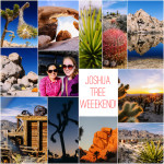
Looking to plan a weekend in Joshua Tree? Check out this overview of our 2-day itinerary.
After hiking Barker Dam, we drive five minutes back to Hidden Valley to eat our picnic lunch — we’ve brought prepackaged meals, along with some nuts and Girl Scout cookies. There are picnic tables around here and the scenery is great.
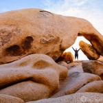
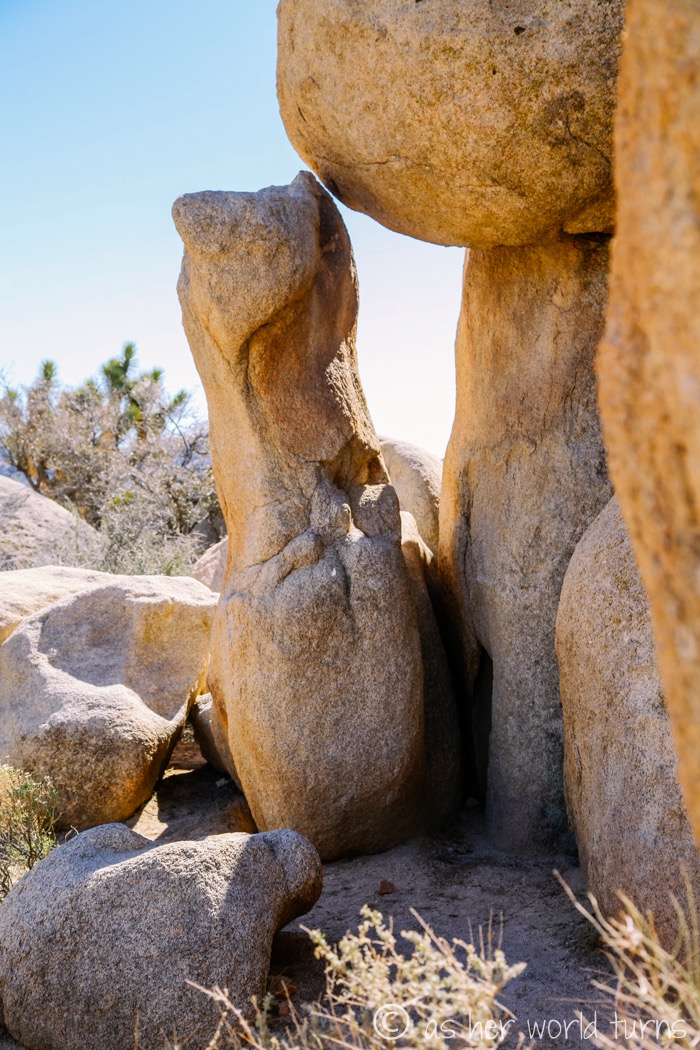
We walk a loop around the parking lot just to admire the rock formations — this one catches my eye, as it looks like a mama rodent (a chipmunk, perhaps?) kissing its baby rodent. Anyone else see that?
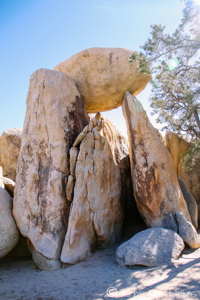
More rock formations around Hidden Valley — you know a place is special when even the parking lot has incredible scenery.
As I mentioned, there are rock climbers everywhere, including this parking lot. They set up crash pads they set at the bottom of the rock to cushion possible falls.
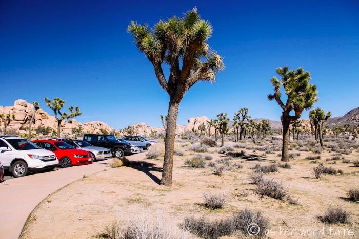
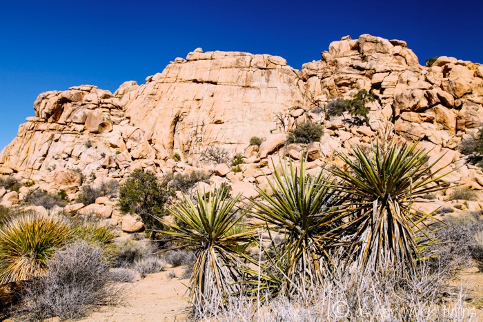
And of course, there are Joshua Trees all over this Hidden Valley area. My camera is out the whole time. Love the contrast of these trees against the blue sky:
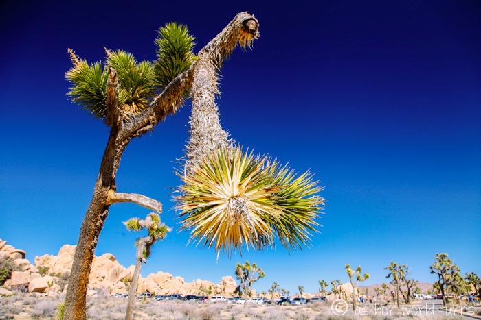
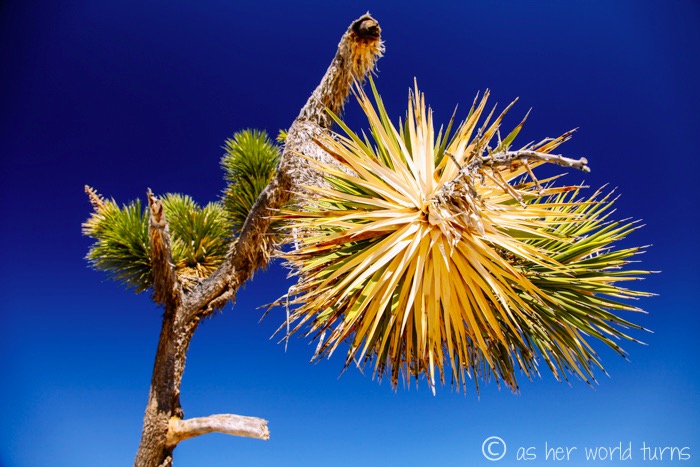
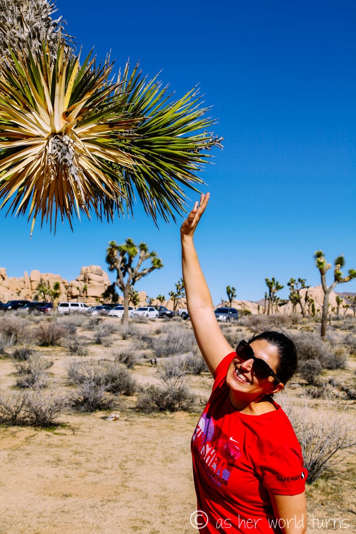
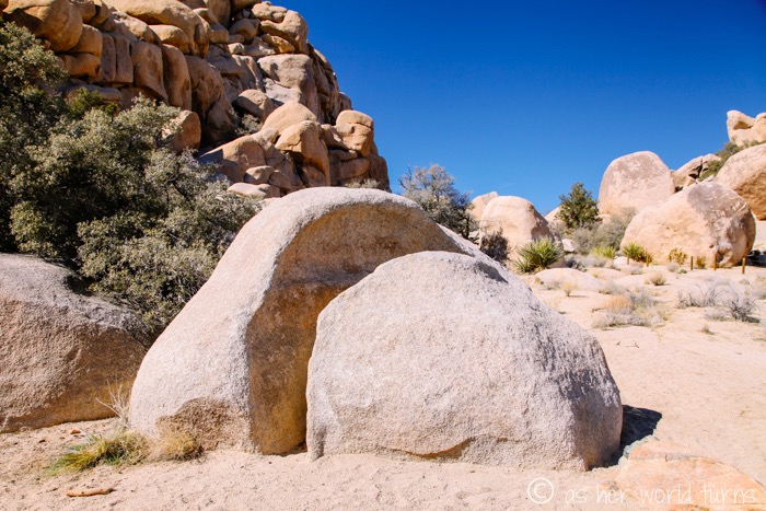
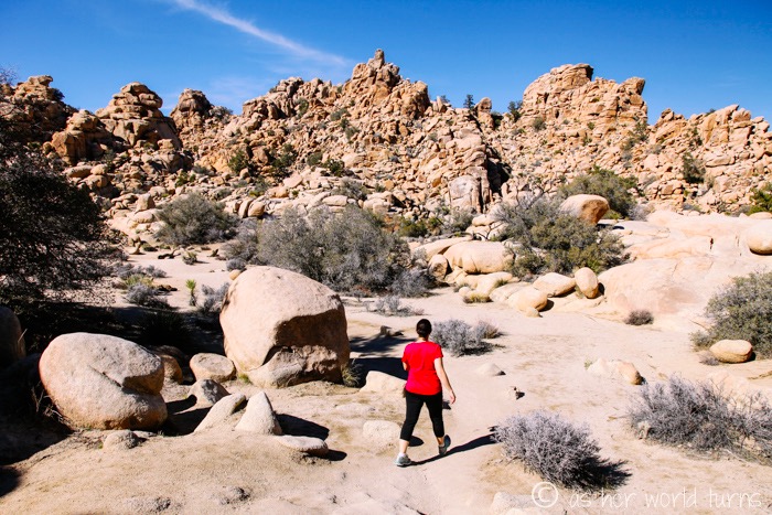
We set off on the easy loop hike around Hidden Valley (30 minutes, 1 miles). The scenery is great. Kelley can’t wait to bring her 4-year-old daughter back for this hike.
We get back to the car and head off to Ryan Ranch. After doing some research (i.e. reading Modern Hiker’s website and talking to Kelley’s husband who recently hiked here) we decide against climbing Ryan Mountain and instead just hike to the ranch ruins. It’s only about a mile round-trip (we’re saving our big hike of the day for Lost Horse Mine) and the ruins are cool to photograph. It maximizes our time — it’s a good payoff for a short hike.
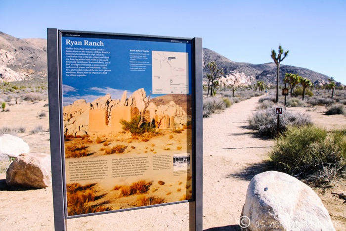
The trailhead is right at this sign (we parked right in front of it):
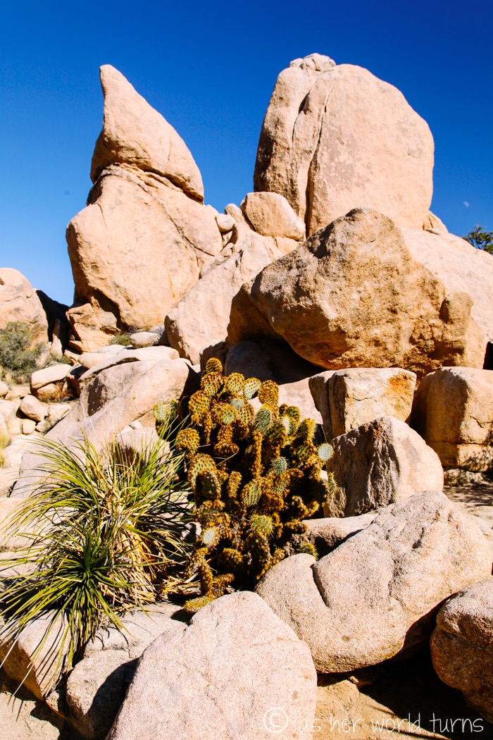
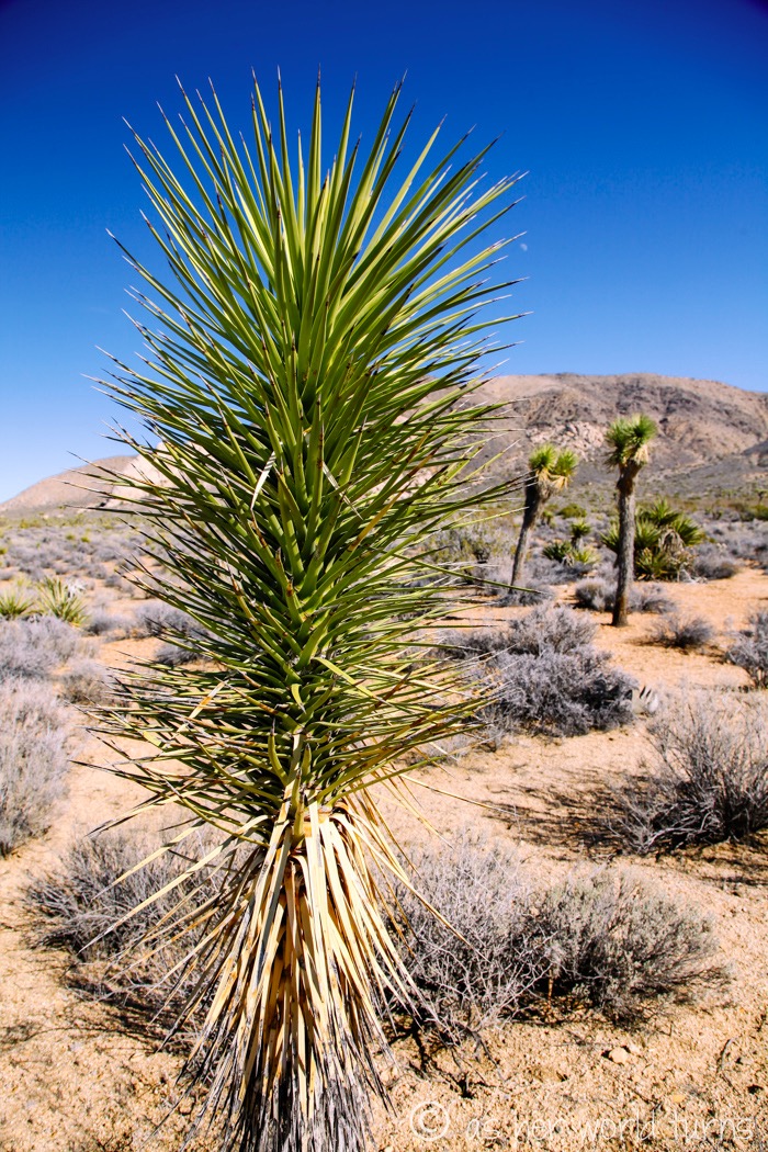
We’re still pretty jazzed every time we see a cactus. So pretty. So spiky.
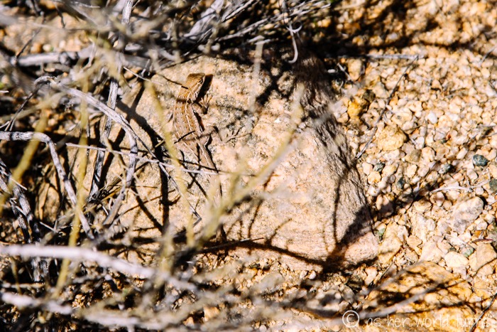
A little lizard in the brush:
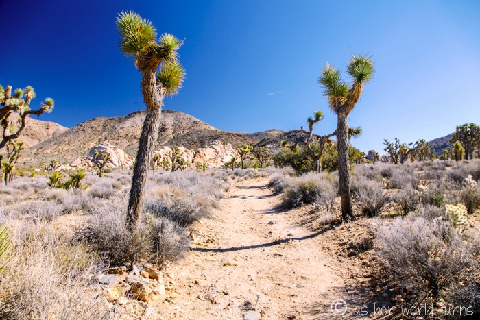
Trail to the ranch ruins:
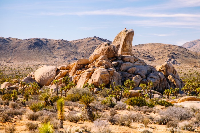
Intrepid climbers take on this rock:
Ranch ruins in the distance:
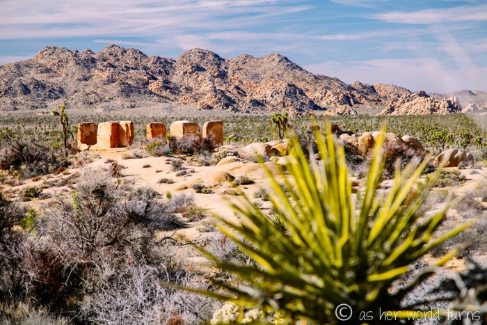
And the ruins up close — the ranch was destroyed in a fire, but the foundation remains:
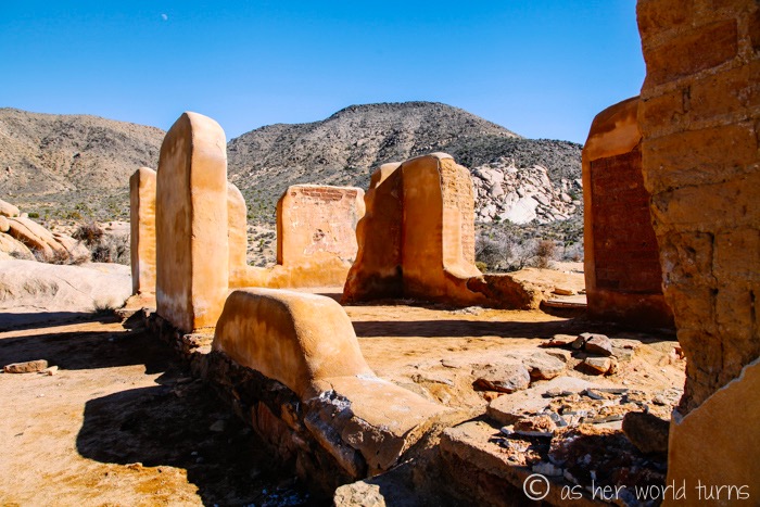
According to Wikipedia, the house was built in 1896 and belonged to the family of J.D. Ryan, the developer of Lost Horse Mine (which we’ll visit next), which was the most profitable mine in the area at the time.
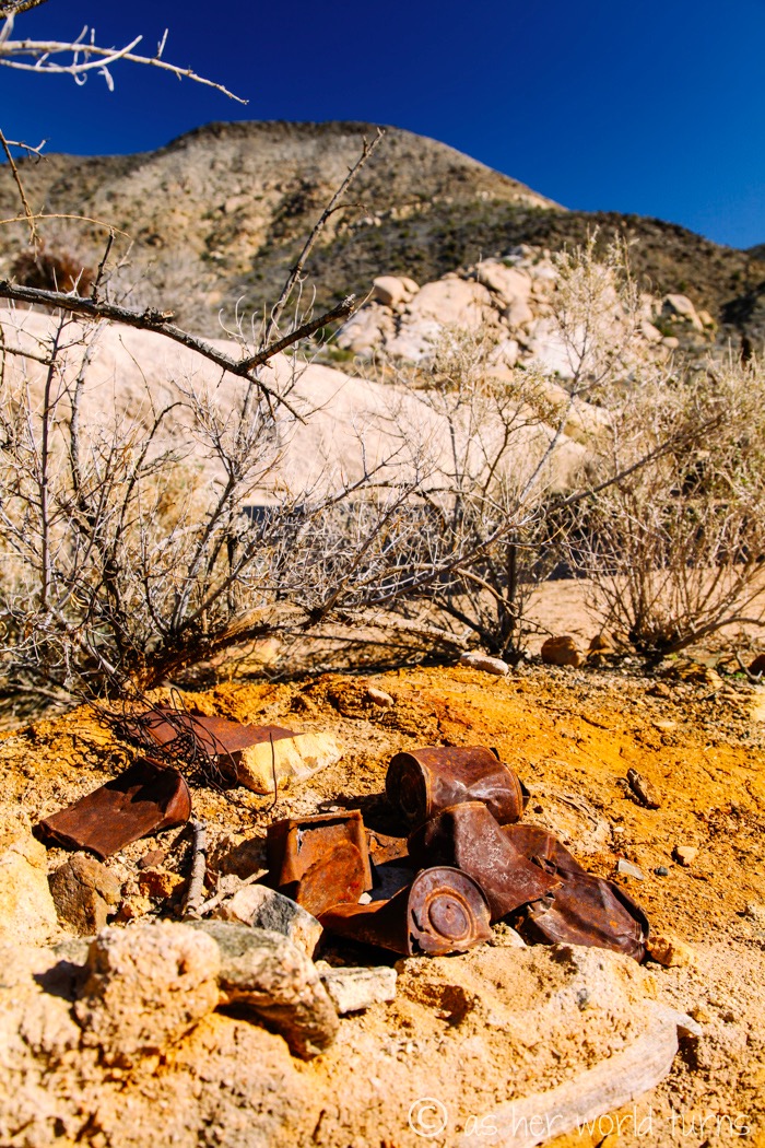
These tin cans are still in evidence next to the ranch ruins… do they date all the way back to the early 1900s when the family lived there, or are they from more recent visitors, Kelley and I wonder?
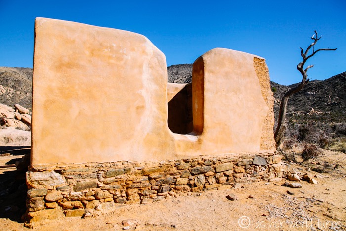
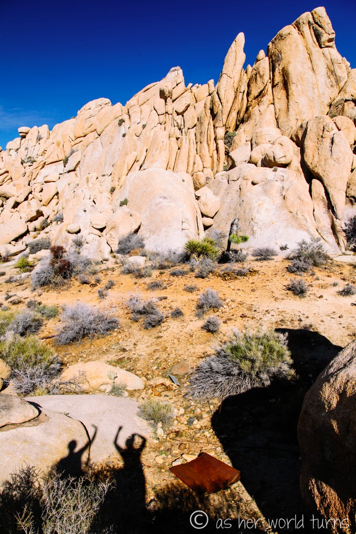
At first we were curious why the house was set so far back, but when we got closer, its location next to these scenic rocks made more sense. This is not a bad view to wake up to every morning. See our shadows waving from the bottom?
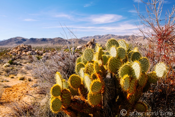
There’s a picture waiting to be snapped every time I turn around. Each cactus seems more photogenic than the last.
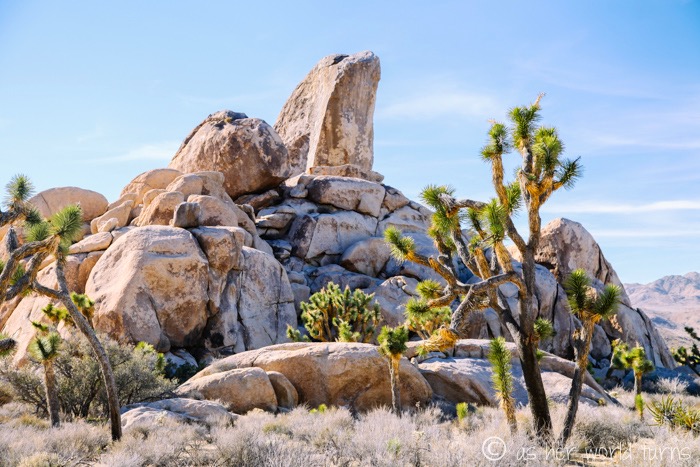
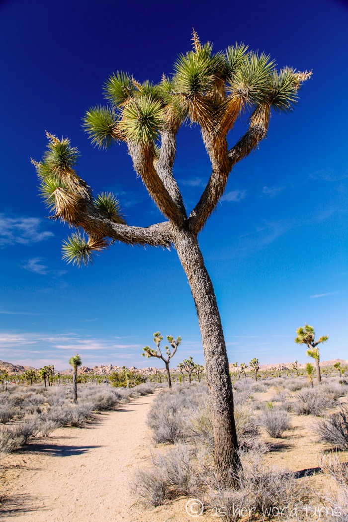
The trail back to the car, lined on either side by endless Joshua Trees:
Next we tackle our big hike of the day — Lost Horse Mine, which is four miles out-and-back (there is a longer version up to the top of the mountain but we are happy with just four miles). It’s moderate because of the uphill stretches. Kelley and I power through this; we do the entire hike in exactly two hours, including some time spent walking around at the mine.
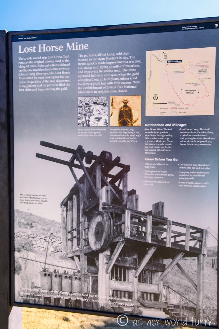
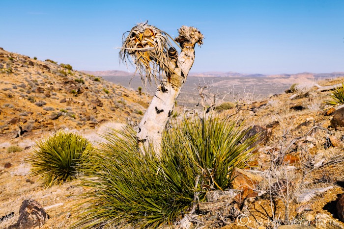
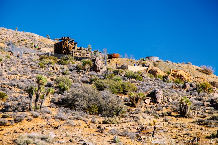
The mine from a distance:
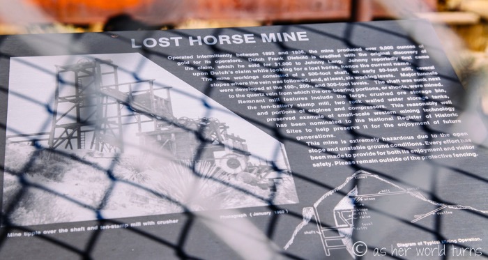
The mine is surrounded by a fence, but you can get pretty close to it.
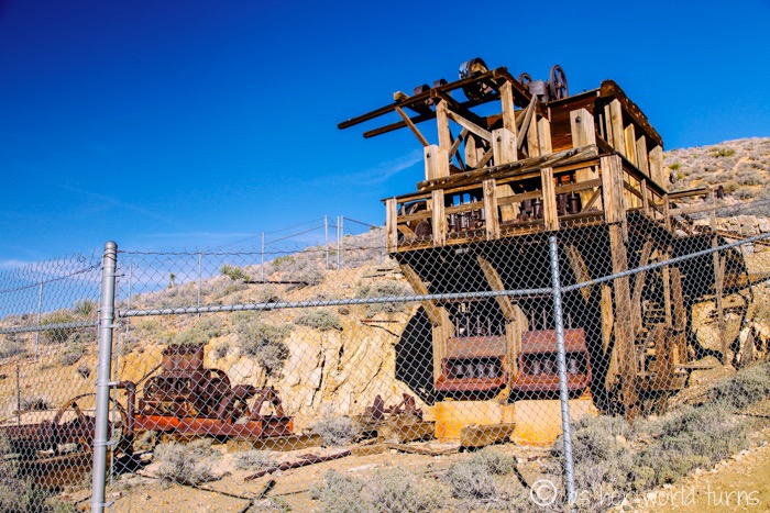
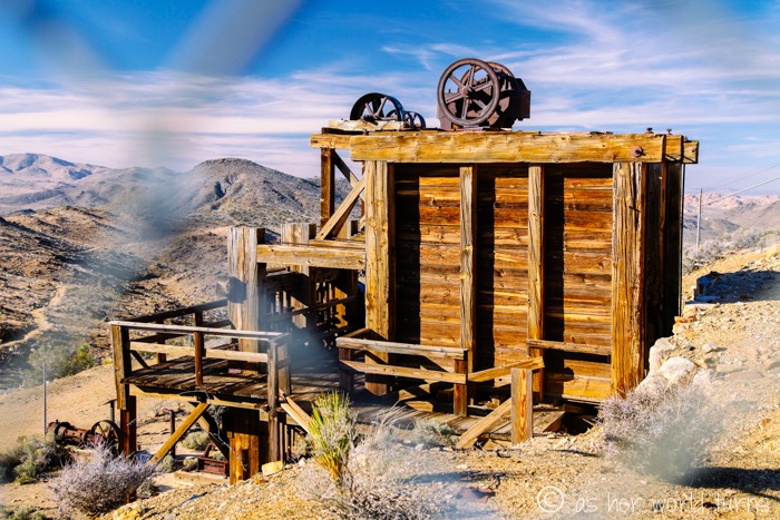
Best view of Lost Horse Mine:
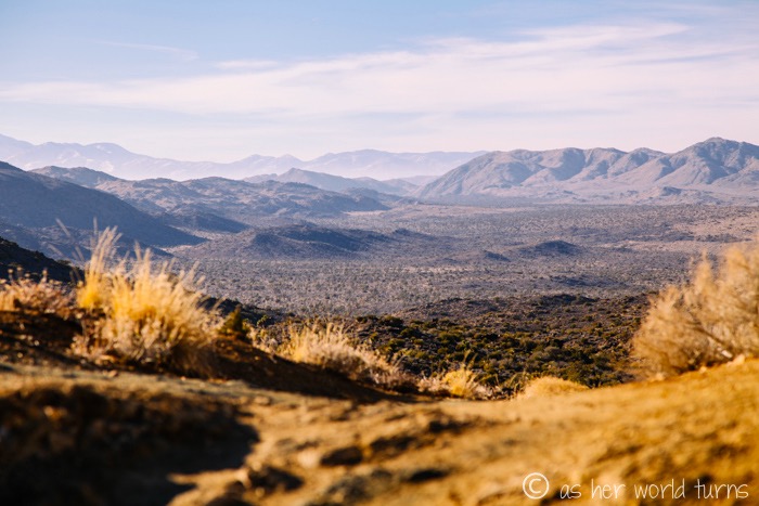
View from the trail from our return trek to the car:
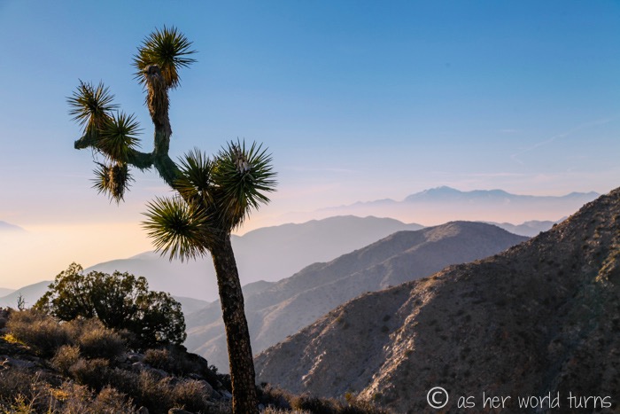
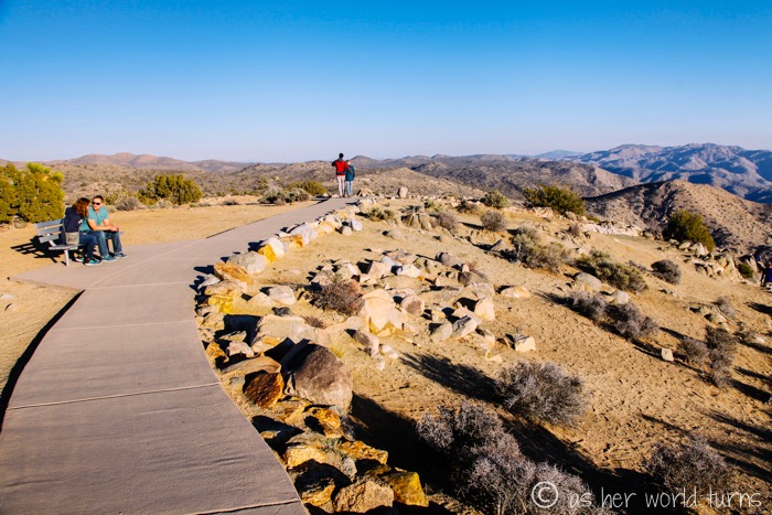
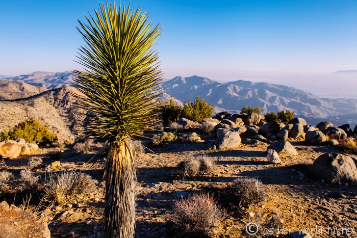
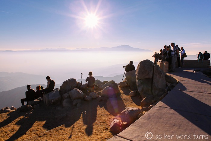
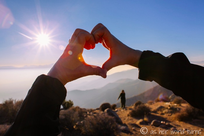
Next we continue a little further down the road to Keys View, one of the more popular viewpoints in the park.
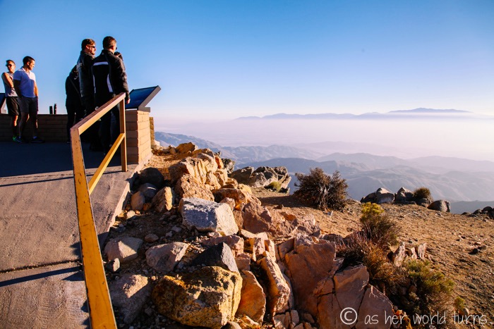
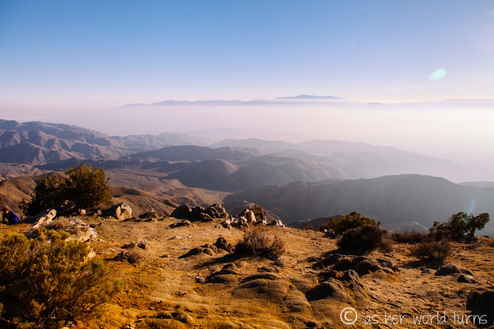
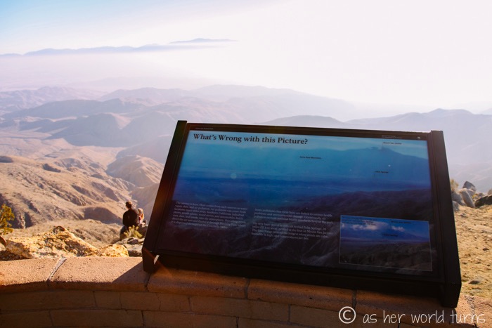
What’s wrong with this picture? Smog. Pollution.
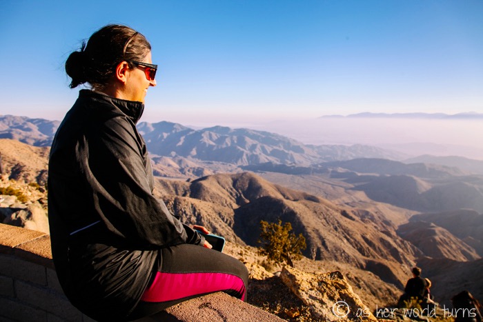
There’s a very short path above the parking lot and the views are spectacular.
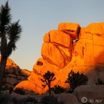
Next up… sunset back at Intersection Rock!

